Distance: 33.87 km (21.05 miles). Cumulative: 206.22 km
Paths: Motion (11.5/13.5), Cape Spear (9.7), Blackhead (3.7), Deadmans Bay (5.4/10.6)
Communities: Petty Harbour & Maddox Cove (2.7), Cape Spear (0.6), Blackhead (.27)
I awoke fairly early and was on the trail as the sun was rising over the ocean.


A scenic, small waterfall

An expansive view south.


I could see Motion Head down below.

The trail descended to Motion Head.


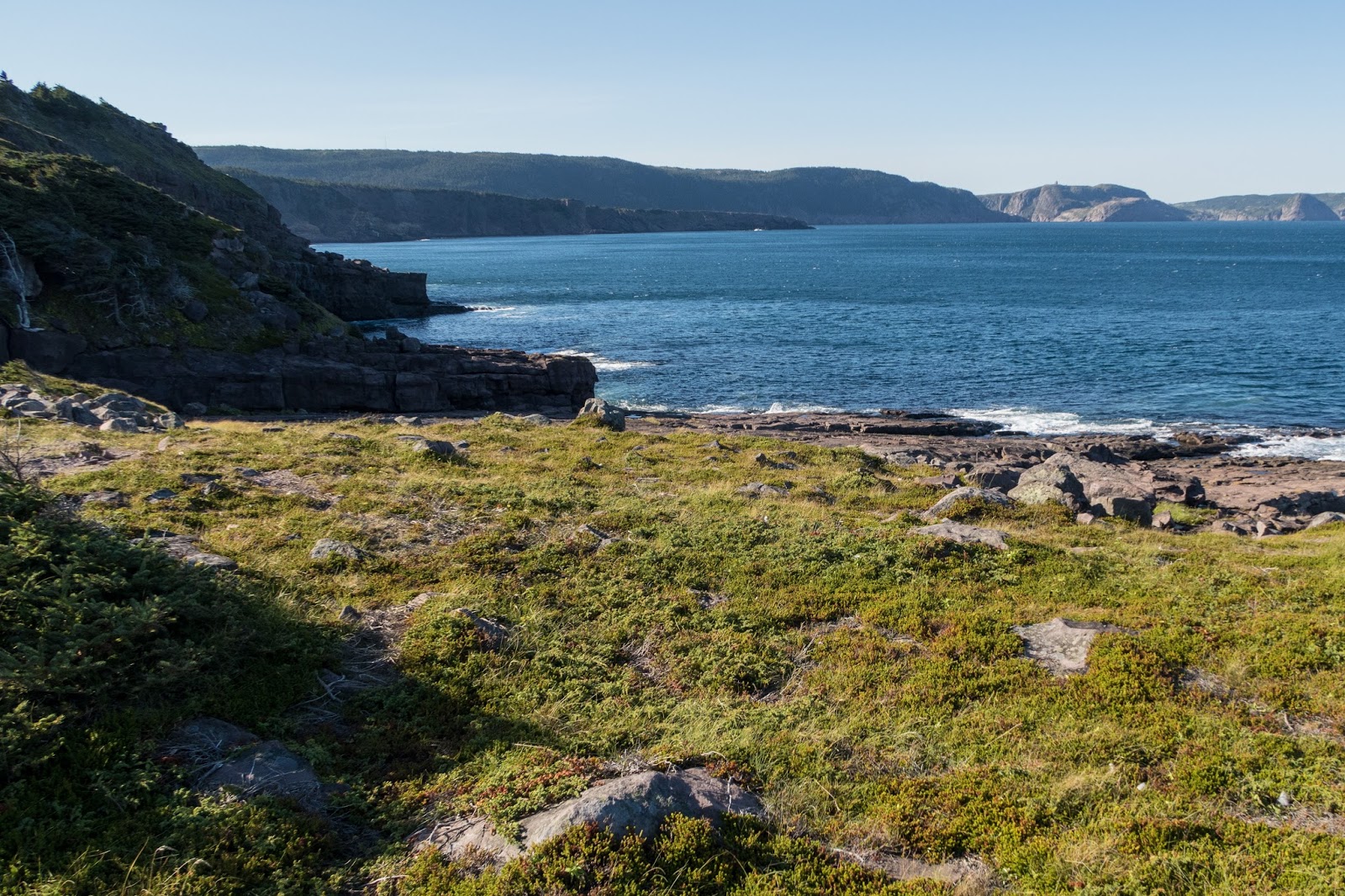
I could see across to Cape Spear.

Petty Harbour

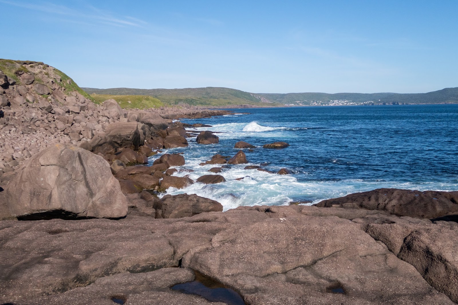
There were a few waves.


I passed a group of day-hikers heading the other way.

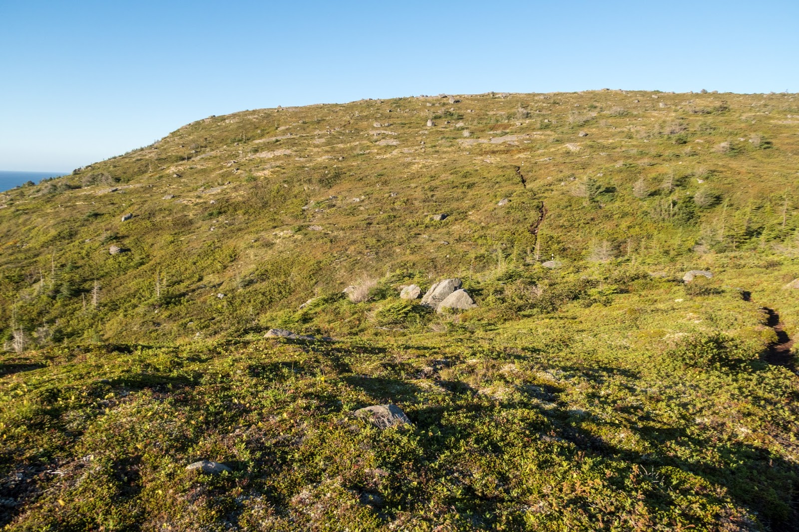
The Motion Path has large barrens and I searched the area for signs of wildlife.


Petty Harbour

Cape Spear to left

I reached the end of Motion Path. The combination with Spout Path is certainly one of my favorite sections of the ECT.

It was a pleasant walk through Petty Harbour.


Maddox Cove

Cape Spear Path

The Cape Spear Path started with a pleasant walk through a natural area.


There was a steep and rocky climb.


There was a smelly spine down on the beach below.


There was a side trail to North Head, but I didn't take it.


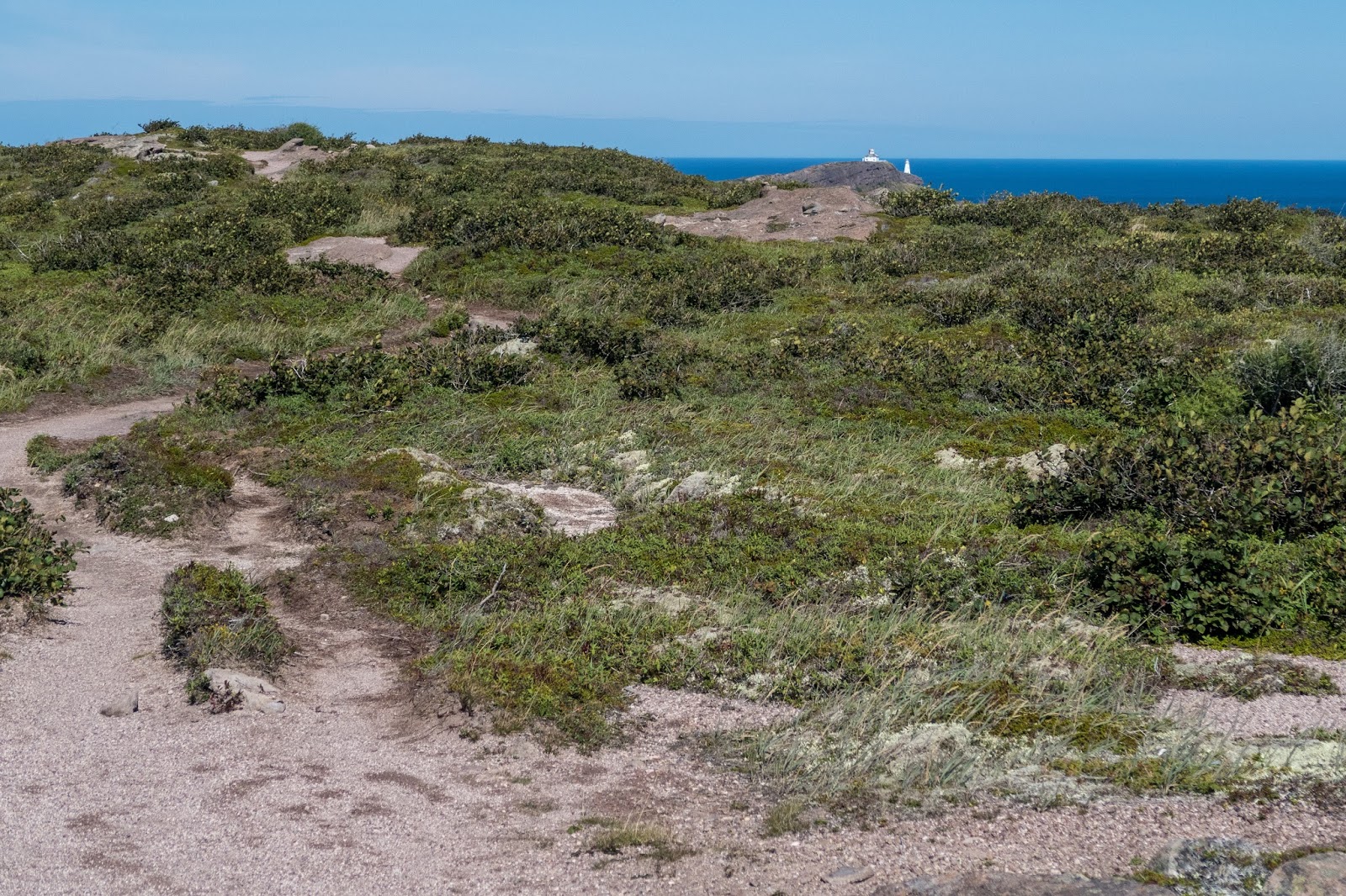
Up on the ridge I began to see the two lighthouses at Cape Spear.
Cape Spear is the most eastern point in North America.


Across the bay I could see Sugarloaf where I would go the next day.


The Cape Spear Path ended, and I turned to go see the lighthouses.

The old Cape Spear Lighthouse is open for tours (fee). I had gone inside previously with my parents.


I walked trails around the most eastern point in North America.

Can't get much more east than that.


I followed Cape Spear trails (parallel to road) to connect with the Blackhead path so there wasn't a road walk.

I could see across the bay to Signal Hill, one of the most prominent and historical sites in St. Johns.

Blackhead Path

The Blackhead Path was short and scenic.


Looking back to Cape Spear

It was a steep climb up Blackhead.

The view at the top was worth it.


St. Johns Harbour and Signal Hill

I reached the end of the Blackhead Path and there was a very short community link to the Deadmans Bay Path.


Deadman Bay Path

Blackhead

I decided that I didn't have enough time to make it to St. Johns so I would camp at Freshwater Bay, which was supposed to be an excellent campsite.

The Deadmans Bay Path had some outstanding and dramatic views.

Peggys Leg


Signal Hill


Freshwater Bay was quite interesting as there was a huge boulder field separating freshwater water from the ocean. There was some great trail work to create a path through the rocks.


Freshwater Bay

There was an open place to camp on the other side but it was quite windy so I found a nice spot back in the trees.


I could tell the area gets quite a bit of use as there was trash and I also had to watch out for lots of broken glass.

Continue to Day 7
No comments:
Post a Comment