Pilot Rock is one of the most prominent landmarks in Southern Oregon near I-5. I decided to go for a quick afternoon adventure and scramble to the top. I followed the directions as described in William Sullivan's 100 Hikes in Southern Oregon book. I started from the "Quarry" parking area. The road to get there was rocky.
I started on a connector trail to the PCT.

There was a junction onto the PCT.

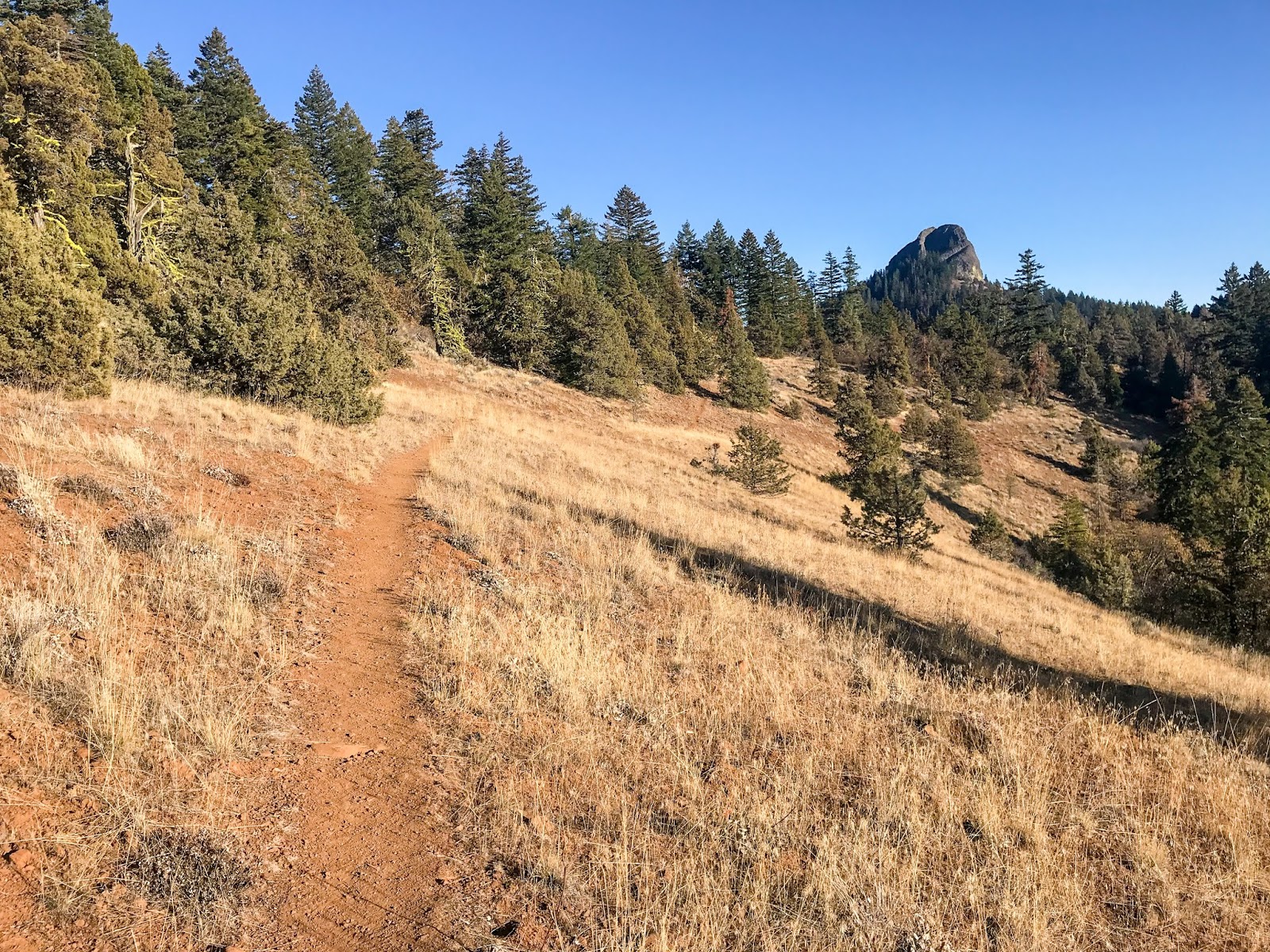
Then 0.2 miles later another junction onto the Pilot Rock Trail.


There was about 350 feet of elevation to the base of Pilot Rock.


There were many others out enjoying the day as I began the scramble up Pilot Rock. I'm not a rock climber, so I hoped it wouldn't be too challenging.

Looking back down.

There were a couple places that took some time to scramble up and needed hands and feet. The toughest places were closer to the bottom.

At the top there was a great view.

Mount Shasta was visible in the distance.

I could also see Mount McLoughlin.


Pilot Rock Summit


Heading back down was more challenging and I needed some advice from others for safe technique at one point.

Looking back up to the main climb up Pilot Rock.

The route up is through the shoot in the center.

It felt good to be safely back on trail.


I went and explored the PCT a little farther southbound to connect with where I finished a previous trail run.


Overall Pilot Rock was a fun challenge. The views from the top were great, but even if you don't want to go all the way to the top, the views are still great!
No comments:
Post a Comment