June 10-13, 2016
~60 miles hiking
~16 miles biking
Of all the national scenic trails, I have currently hiked the most miles on the North Country Trail, a 4600 mile
trail from North Dakota to New York (soon Vermont). Whether it be beautiful segments in the Boundary Waters Canoe Area Wilderness (Border Route Trail, Kekekabic Trail), along Lake Superior's beautiful shoreline (Superior Hiking Trail, Pictured Rocks National Lakeshore), or in Michigan's Lower Peninsula (Manistee River, Jordan River Pathway), the NCT has provided exceptional backpacking opportunities.
In the summer of 2016 I have returned to Northern Lower Michigan and have had the opportunity to complete much of the established NCT in the eastern upper peninsula. This section includes remote country in the Hiawatha National Forest and along the beautiful shore of Lake Superior. I have also been able to arrange for 3-day weekends at work and plan to use my bike more frequently vs. backtracking on the NCT as I have previously done.
During the weekend of June 10-13, 2016, I was able complete an amazing loop combining a lengthy portion of the NCT through Tahquamenon Falls State Park, north to Lake Superior, and off-trail east on the beach to Whitefish Point. From Whitefish Point I biked back to the mouth of the Tahquamenon River. The map below shows the NCT portion of the loop.
I drove north to Whitefish Point on Friday evening after work. I dropped my bike off near the Whitefish Point State Dock. The mosquitoes were quite intense in the woods.
I drove back past the Tahquamenon River and turned onto the NCT where it is a remote two track. I drove back a little ways, it started to rain, and I slept in my car for the night.
I awoke early and drove to the mouth of the Tahquamenon River and parked at the boat launch.

It was a beautiful morning.

I began a long day starting with a road walk over the Tahquamenon River.

Mouth of the Tahquamenon River


It was a short road walk with great views of the river and also Lake Superior.


Soon I reached the roadside park and stopped for a view of the lake.

There were several informative signs nearby. One was about the NCT and very well done.

I joined the Tahqua Trail (actually a road) and began an exciting section of trail. Recently the NCT has been reclaimed near the river. It still stays close to the road and uses it occasionally but there are many views of the river and lots of scenic foot bridges.


One of the many new bridges on the Tahqua Trail.


There was a nice morning reflection.


I found my first turtle for the day.


At least 21 structures have been completed in this section.


I was back on the road past some houses for a little while.

Then back to the river.


I reached the trailhead on the western end of the Tahqua Trail.

I signed the register book and continued on. Thanks to everyone who helped with the Tahqua Trail section. It's a great hike!


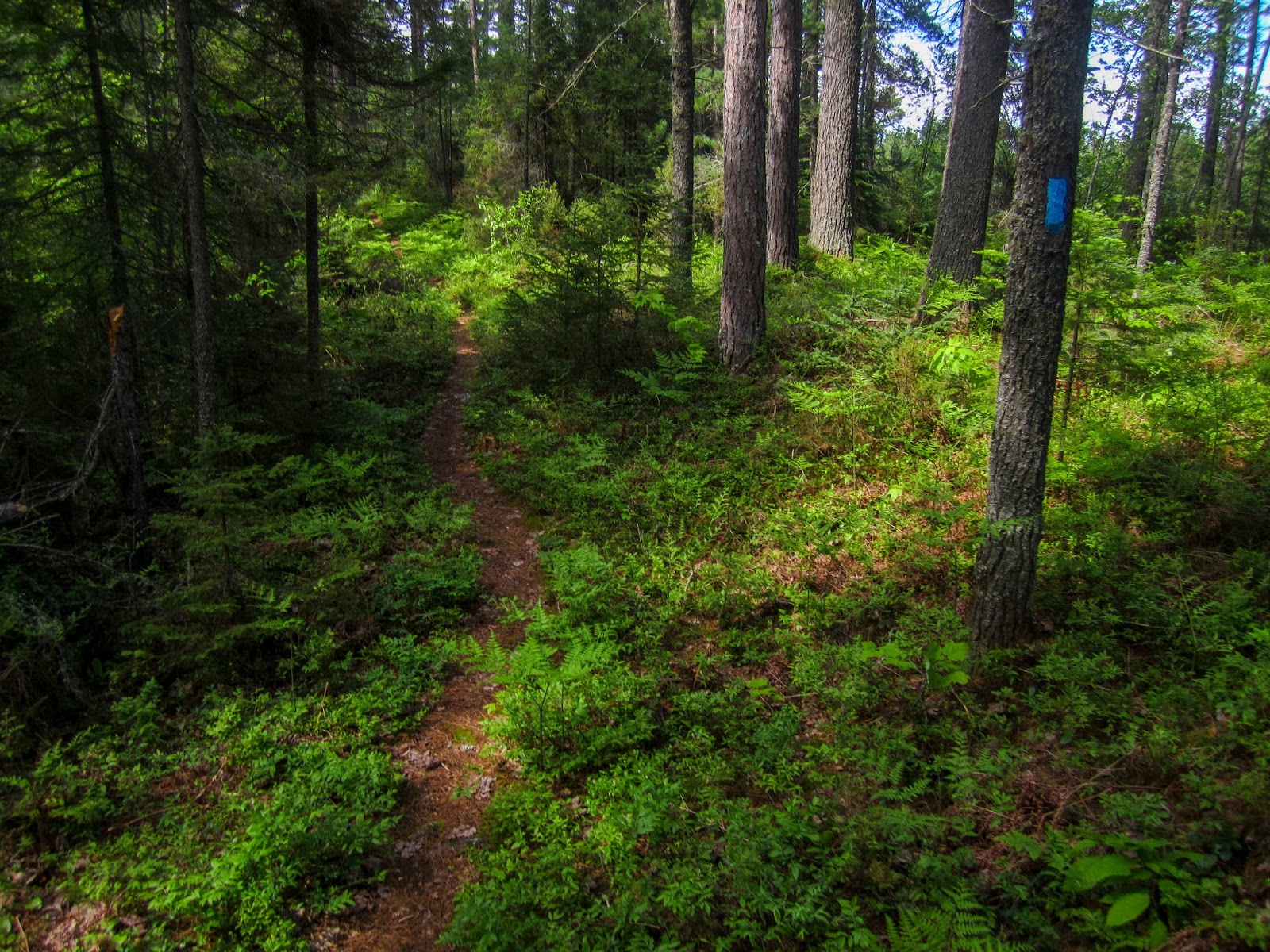
The trail from the trailhead was quite wide. There was a large tree in the trail.

I came to a scenic swampy area and there were lots of mosquitoes.

I was able to stop for long enough to get a picture.


The trail did have some elevation changes as it climbed up to a nice view.

I met my second turtle of the day.


I went off the trail a short distance for a view of Camp Ten Lakes.


There was a sign near the crossing of Timberlost Road (I believe).


I came to the Old Stove Road Campsite and there were mosquitoes so I didn't stop for long.

I continued with some nice forest hiking as I got closer to Lower Tahquamenon Falls.


Cabin Lake


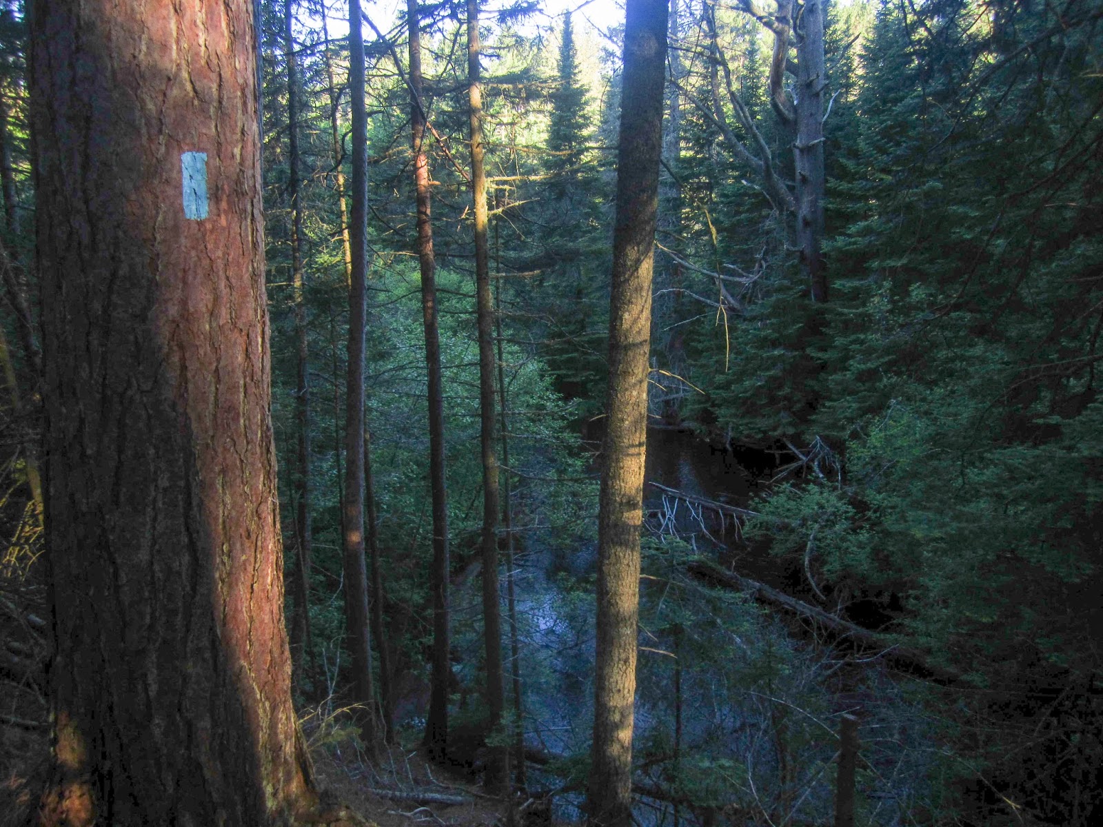
Soon I was back at the Tahquamenon River.


I quickly walked through the campground and stopped to get some water. It was getting hot outside.

The trail is quite busy near the lower falls.


While not as large as the upper falls, they are still quite scenic.


The trail uses a nice boardwalk.

There was an up-close observation platform to see the Lower Falls.


From the Lower Falls, the NCT between the falls is one of the most popular and heavily used on the entire NCT.

The trail stays close to the river with great views.


I saw a few other groups of people hiking the trail.

There were some impressive trees as well.


There were mile markers indicating the distance to the upper falls.


I reached the end of the trail and came out on the paved trail near the upper falls. I descended the stairs for a great view of the falls.

There were impressive cliffs.

There was a nice boardwalk near the river and the upper falls. The upper falls is one of the largest waterfalls east of the Mississippi River.


I climbed back up the stairs and then took a quick detour to the nearby parking lot where I found a drinking fountain to get some water. A man asked where I was headed and I told him about plans for my loop hike/bike.

There was also a couple overlooking viewpoints of the falls.


I went down to the brink of the falls for the classic view.


I returned to the paved trail and then turned on the NCT and continued my hike away from the crowds.

Soon I crossed M-123.


I went past a giant pine.


There was an area with some beaver activity.


Some open views


I took a break at a backcountry campsite. Backcountry camping in Tahquamenon Falls State Park requires a permit.

Soon I reached the point where the NCT heads away from the state park. From this point it would be possible to loop back to the lower falls, but I had a larger loop in mind.


I could just barely see Loon Lake through the trees.


I the trail reached a two track.

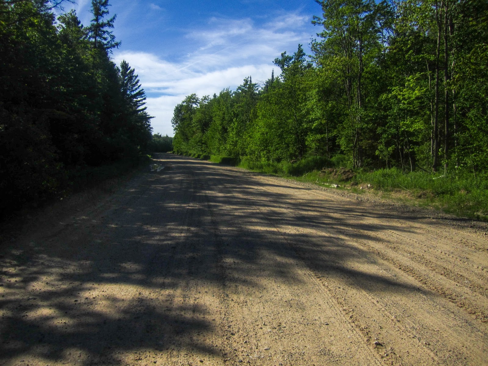
I came out to CR-500 for a short road walk.
I met my third turtle for the day.

The trail used the road's bridge to cross the Little Two Hearted River. I stopped to get some water.


Near this point I estimate that I reached 1000 unique NCT miles if the Arrowhead Re-route is counted. I stopped to take a picture of the exciting moment and thought of the reality that I had still completed less than 25% of the trail. The NCT is a special trail indeed.

Nearby there was a scenic pond (unsure if it has a name).


After another nice section of trail, the NCT followed some two tracks. I noticed I was following some foot prints. As it had rained the night before, I must have been following someone I thought.

It was evening by this time, providing some nice views.


I began to look for a place to camp.

I found a place to camp up on a hill in a partially logged area. There was a breeze which seemed to keep some of the mosquitoes away.

As I ate some food, I heard a noise and looked to my right to see a bear running away from me. It must have seen me first.

I enjoyed the evening views after a long day on the trail. I made sure to store my food properly in my Ursack.

I awoke the next morning to the sun shining through the trees.

I quickly came out to CR-500 and crossed the Little Two Hearted River again.

I stopped to get some more water.


The trail came out to a view over the river and I discovered I had been following some people the day before as two tents were set up directly in the trail. I quietly walked past them as it was still early in the morning. If I had known about this spot I would have continued more the day before.

I crossed CR-500 and scratched "Hi" in the sand for the other hikers. Then there was a new section where the trail had recently been re-routed and significantly improved.


Soon I came to Parcell Lakes.

Parcell Lakes


The trail paralleled the lakes and near the end had some nice open views.

I looked across the lake for any signs of wildlife. Maybe I'd see a moose. To my surprise I did see something dark on the other side, but it was probably a tree stump. Then it moved. It was another bear, my second in less than 24 hours! It was on the other side of the lake so I wouldn't have to worry about it.

The bear is barely visible in the center of the photo below.

The bear was fairly large and started walking to the left and of course, that happened to be the same direction the trail went. I figured the trail would simply parallel the lake and continue onward, but the trail had a slight turn around the end of the lake which by this time brought me face to face with the bear. Before I could yell at it turned around an ran for its life.

From this point the trail passed many ponds and two tracks on its way to Culhane Lake.

Culhane Lake


I reached the state forest campground where I had ended the group hike the week before. Only one campsite was occupied.

I took a break at one of the campsites and enjoyed the view.


Culhane Lake

From this point I left the NCT and followed roads to near Little Lake. There were signs directing the way to Crisp Point Lighthouse.

I made my way through the forest out to the dunes above Lake Superior.


I followed along the top of the dunes for a little while, but it was slow going.

I descended to the beach and continued east to the lighthouse. For nearly the entire distance to Whitefish Point, the beach is next to the Superior State Forest, providing on of the most remote beach walks.

Looking back up the dunes


In some places the dunes were quite steep.


In places the dunes had collapsed and trees had fallen down by the water, requiring some scrambling.


I went across a small stream.


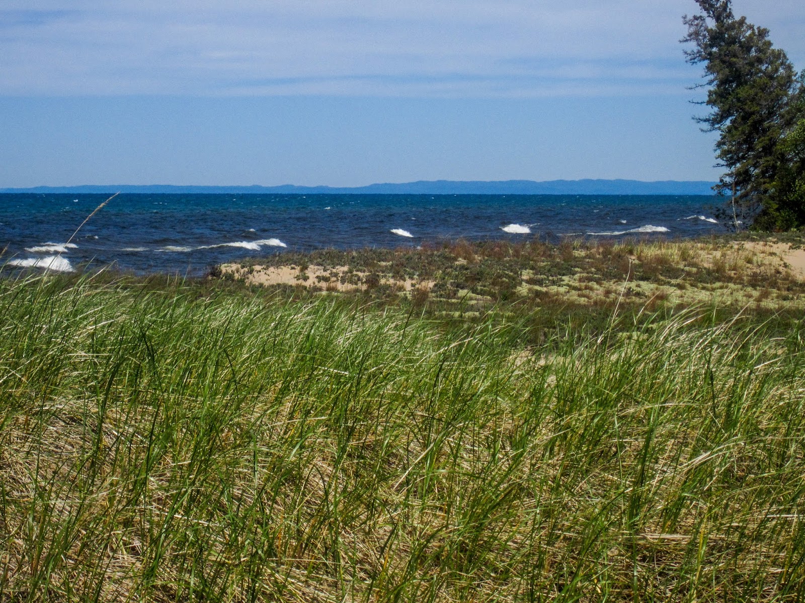
Soon the dunes weren't as high and there was a grassy area near the beach.


I started to get my first views of the Crisp Point Lighthouse.


In some places the waves went right up against the shore. I was able to stay dry by hiking inland.


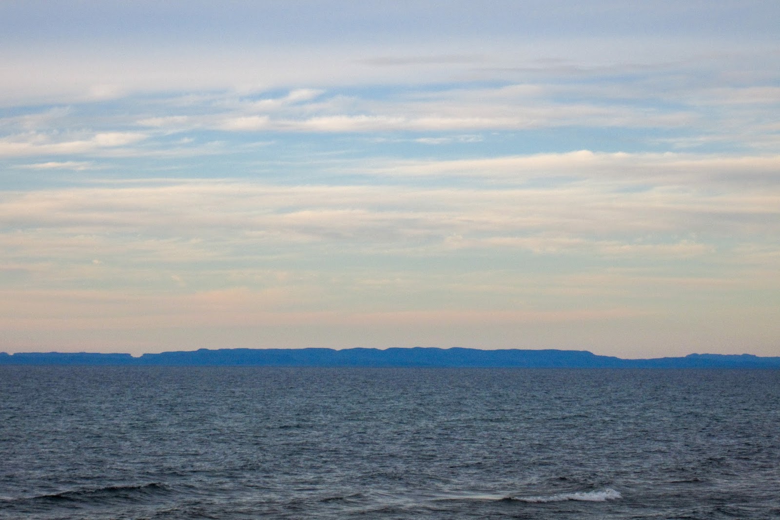
I could see all the way over to the mountains in Canada.


Crisp Point Lighthouse

The Crisp Point Lighthouse is one of the most remote lighthouses in Michigan. It has also been listed as one of the most endangered lighthouses. I visited the lighthouse many years ago and since then, a lot of work has been done to help restore it.


The lighthouse was open but there wasn't anyone inside. I decided to go to the top for a view. I could see my route to the east.


After some time, the lighthouse was no longer in view.

I continued with some excellent remote beach hiking.


An eagle went flying by and it was having difficulty flying into the wind.

There was a scenic inland pond.


The beach in some places was quite large. There were also shallow pools of water nearby probably from a stream/river.


It was easy walk on the solid surface near the water.


Looking back


There was an area roped off to protect the Piping Plover.

I reached where the stream emptied into Lake Superior and waded across.


I began to look for a place to camp and it was difficult as it was windy and the sand wouldn't hold my stakes well.

I could see a point in the distance and wondered if it was Whitefish Point. There was a freighter coming around it.


I set up camp off the beach near a dirt road. I had trouble with my ultralight stakes and ended up tying my tent lines to sticks and burying them in the sand.


I enjoyed some relaxing evening views.


I slept well that night and awoke to blazing color early in the morning. I stumbled out of the tent to take a picture.

Looking the opposite direction I was surprised to see a rainbow!

Within seconds the colorful display was gone and it was cloudy. Unsure of the weather, I decided to pack up camp and finish the hike to Whitefish Point.

This section was the most challenging of the beach section. I tried to stay on the beach as I wasn't sure of private property inland. This resulted in climbing over many trees.


There was also some easy walking.


Loons on Lake Superior


I passed a few large houses and there was a spot that required wading in the lake.

I'm not sure how I made it through the trees below. I must have gone over them.

Large boulders have been placed near the beach to keep it from collapsing. This actually made walking easier in some locations.


The first view of the Whitefish Point Lighthouse


It was still early so it wasn't open, but I wandered around for a few pictures.

I found some info about the Edmund Fitzgerald. There is also a shipwreck museum nearby.

Whitefish Point Light

The light is the oldest operating on Lake Superior.

I left the light and continued to Whitefish Point.

There was an area roped off for the piping plover. A researcher was inside filming.


Whitefish Point looking north

I continued back to Whitefish Point State Dock.

I retrieved my bike and had a pleasant ride back to the mouth of the Tahquamenon River.

The idea for this loop came almost instantly after my dad suggested hiking the beach between Whitefish Point and the Crisp Point Lighthouse. Maybe just because I came up with the idea to put it all together, but I do think this is one of my favorite weekend adventures in Michigan. It includes lots of variety: one of the finest sections of the NCT, opportunities to see wildlife, two lighthouses, and some of the most remote and scenic beach hikes. Most of the bike route also has a dedicated bike lane.
Thanks for the photos and commentary. We live nearby and have walked bits of the trail near Muskallonge Lake and Crisp Point. Whitefish Point brings us back every year or so, as well. So glad you enjoyed it!
ReplyDeleteThe documentation of your NCT experience in the Eastern UP is fascinating; thanks for taking the time to produce this excellent work that focuses on my environs. Furthermore, and most importantly, props to you for implicitly witnessing to our great Lord and Savior Jesus Christ [sentence in the "About Me" cell of your blog post]
ReplyDelete