June 3-6, 2015
~26 miles one-way
Of all the national scenic trails, I have currently hiked the most miles on the North Country Trail, a 4600 mile
trail from North Dakota to New York (soon Vermont). Whether it be beautiful segments in the Boundary Waters Canoe Area Wilderness (Border Route Trail, Kekekabic Trail), along Lake Superior's beautiful shoreline (Superior Hiking Trail, Pictured Rocks National Lakeshore), or in Michigan's Lower Peninsula (Manistee River, Jordan River Pathway), the NCT has provided exceptional backpacking opportunities.
In the summer of 2016 I have returned to Northern Lower Michigan and have had the opportunity to complete much of the established NCT in the eastern upper peninsula. This section includes remote country in the Hiawatha National Forest and along the beautiful shore of Lake Superior. I have also been able to arrange for 3-day weekends at work and plan to use my bike more frequently vs. backtracking on the NCT as I have previously done.
During the weekend of June 3-6 2016, I was able to complete a fantastic hike on the NCT between the Culhane Lake and Lake Superior State Forest Campgrounds. This is a very scenic section of the NCT and also one of the most challenging due a recent fire, dune erosion, sandy footing, and the weather. It is also quite remote. I was aware of a planned group hike with the Hiawatha Shore to Shore Chapter of the NCTA from the Two Hearted River to Culhane Lake and made plans to join them Saturday morning and then return and continue west as time permitted before returning mainly via the beach.
After driving up from the lower peninsula, I arrived at the Mouth of the Two Hearted River State Forest Campground Friday evening.
Evening at the Two Hearted River near the picnic area.

A short hike through the campground brought me to the impressive suspension bridge over the Two Hearted River. I was previously here on a family vacation when I was young. There used to be a fun rope swing on the other side of the bridge.


There was a great evening view to the mouth of the Two Hearted River.


On the other side of the river the NCT offers a nice view with dunes and the river.


The trail turned left off the beach.


I entered the forest which was recently burned.


I came to a place where the trail turned inland to go around a higher dune. I decided to climb to the top to see if there was a possible campsite.

I didn't find one at the top but there was a flat spot down the dune a little ways. I set up camp and enjoyed the view.

I descended to the beach.

My camp was quite a bit above the beach.


I slept in the next morning as I planned to wait for the group hike to Culhane Lake. I needed to backtrack the short distance to the Two Hearted River Campground where the group hike was starting from.

Some of the blazes in this area are just nailed to trees.

I went down to the beach to enjoy Lake Superior in a peaceful state.


I packed up my gear and started my hike back to the campground.


The fire tried to burn a blue blaze but wasn't successful.

I went to the beach and kept hiking east.


Soon I was back at the suspension bridge.

I had time to spare so I decided to continue on the beach to the mouth of the river.


Mouth of Two Hearted River

Then I turned around and hiked back past the bridge to the top of a dune above the river for a rewarding view.


I crossed the bridge and headed over to the parking lot and put my gear in my vehicle as I wouldn't need it for the group hike.


Soon everyone arrived and I met many friendly members of the Hiawatha Shore to Shore Chapter of the NCTA. We began the hike along the river and then up into more of the burn area that is really starting to make a come back.

There were great views through the trees.


In some places they have cut the trees with blue blazes before they fall down as typically the blue blazed trees seem to fall first.


At one point I wandered over to get a better view and found an eagle sitting in a tree.

It was a scenic hike.


The trail turned away from Lake Superior and there was a nice view looking down a hill.


We came to the Little Two Hearted River and crossed it on a short road walk.

Then hiked a beautiful section of trail along the river.


Soon it began to rain.

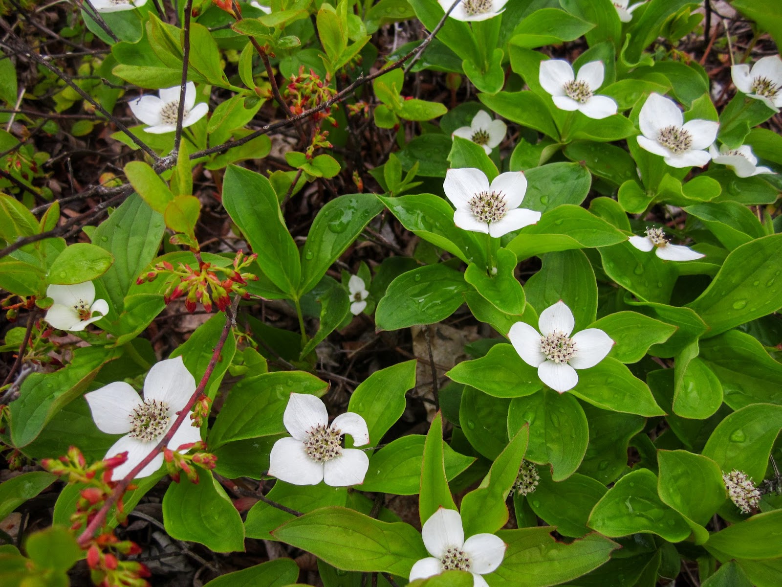
After a pleasant walk through forest that hadn't burned we made it to Culhane Lake.

Near the campground there was a sign about the group hike.

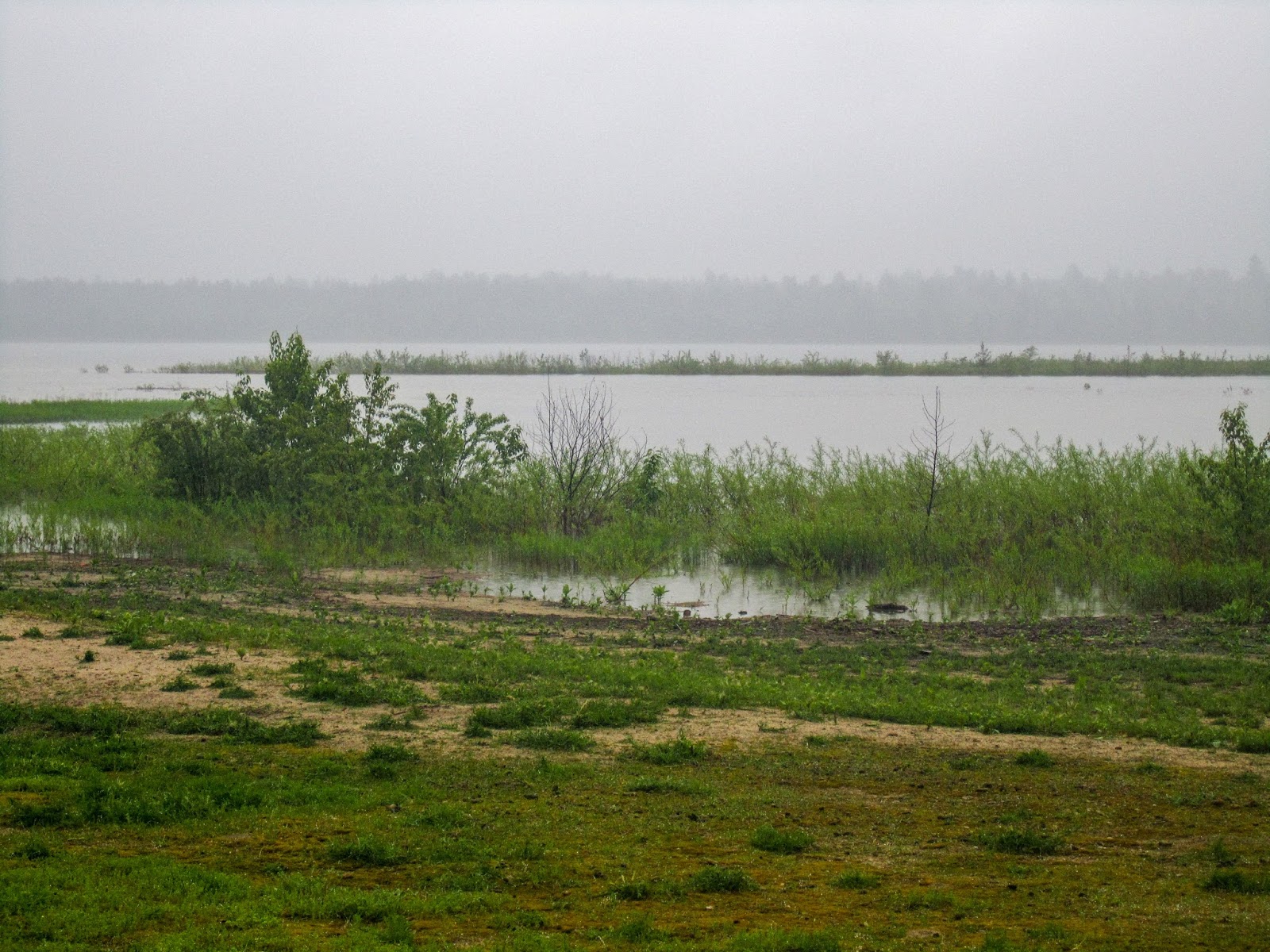
Culhane Lake is quite scenic with few signs of man made structures.


After taking a break and wishing everyone well, I turned around and started the return journey to the Two Hearted River. Thanks to everyone who helps with the trail in this area.

Soon I was back at the Little Two Hearted River.

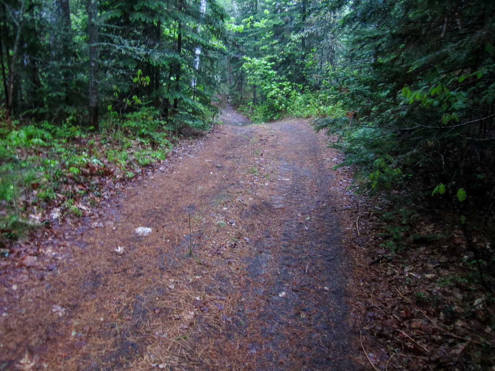
I made my way through an impressive forest.


Then I was back at the burned area.


I crossed the river on the road.


I left the trail a short distance and found some nice views of the dunes.

I decided to walk down to the beach.

I could see some people walking this remote stretch of beach.

I climbed back up to the trail and then went off to explore another dune.


Soon I was back near the river where the trail is following a two track. I saw a truck parked beside the trail.

Two Hearted River


Looking to the suspension bridge

I made it back to the parking lot and collected my gear. By this time it was 4 pm and I was excited to start my backpacking adventure.


I retraced my steps on my way to where I camped the night before.

From the Two Hearted River I had entered a new chapter of the NCTA, one that I had heard was quite challenging to maintain and remote.

I passed my campsite and continued on. In much of this area the trail is quite sandy.

This section of trail between the Two Hearted River and Muskallonge Lake State Park is mixed with beautiful sections along Lake Superior and places where the trail is routed around private holdings, typically using Coast Guard Line Road. As the trail does this so frequently, it can make understanding where you are challenging. Simply follow the blue blazes or the lake and it's hard to be lost even when unsure specifically of location.

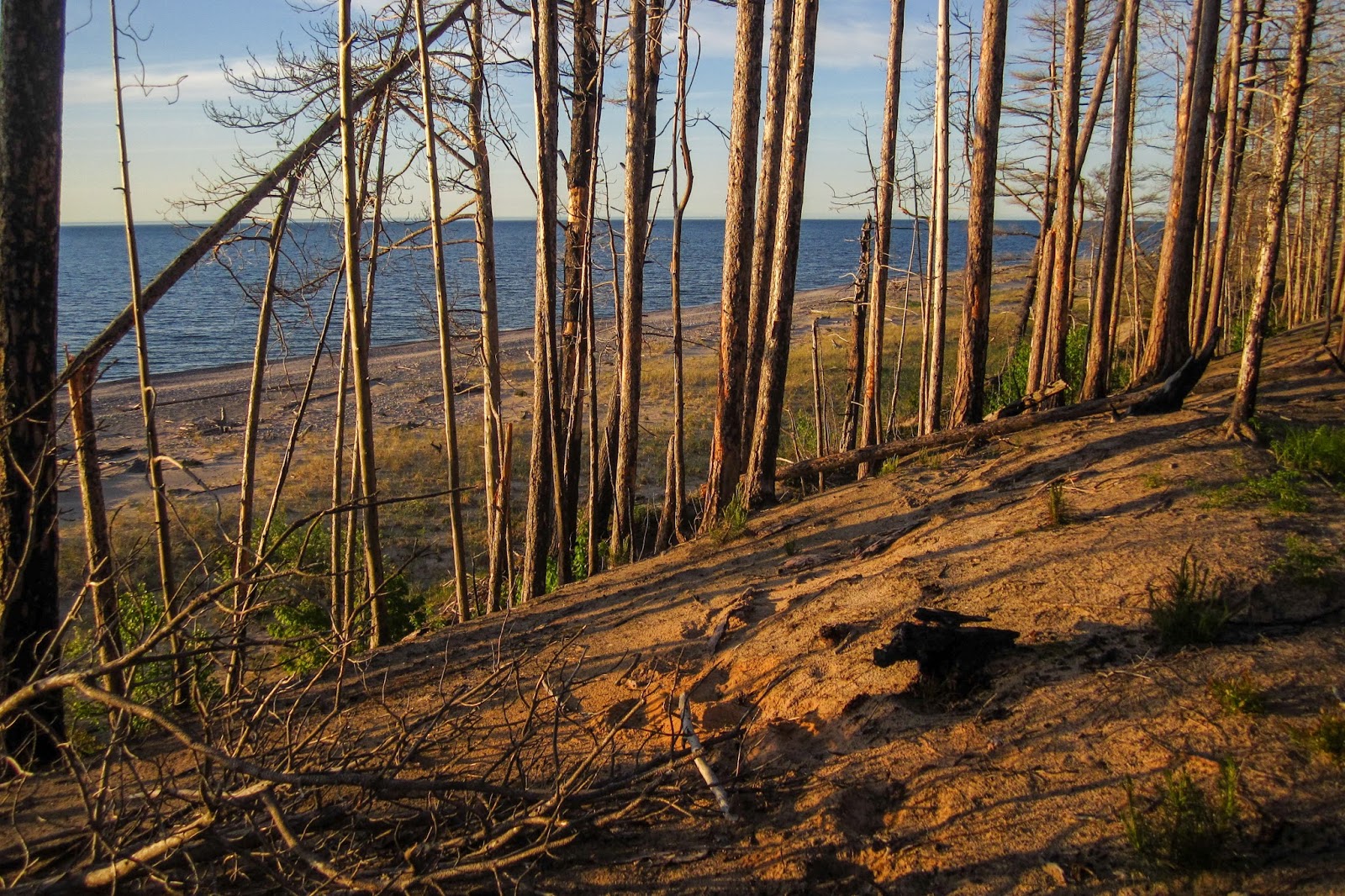
Hiking along Lake Superior in such a remote area, makes this one of my favorite places on the NCT.


The trail follows a sandy two-track by the lake.


Numerous panoramic views!


The trail stays by the edge of the dunes which in some places are quite high, providing expansive views.

In some places the trail had just fallen off the top of the dune.

There was some great recent trail work in the area.

I reached the first time the trail turned in to go out to the road.

An impressive stretch of trail work.


In some places the trail has been re-routed with blue ribbons.

I came out to some open logging areas.

Then it started to rain quite heavily and I quickly put on my poncho.

The rain continued and I didn't have opportunity to take many pictures.

There was another section that went back to a road walk.
Then the trail came back to the lake. I started looking for a place to camp, hoping the rain would let up a little so everything wouldn't get wet while setting up camp.


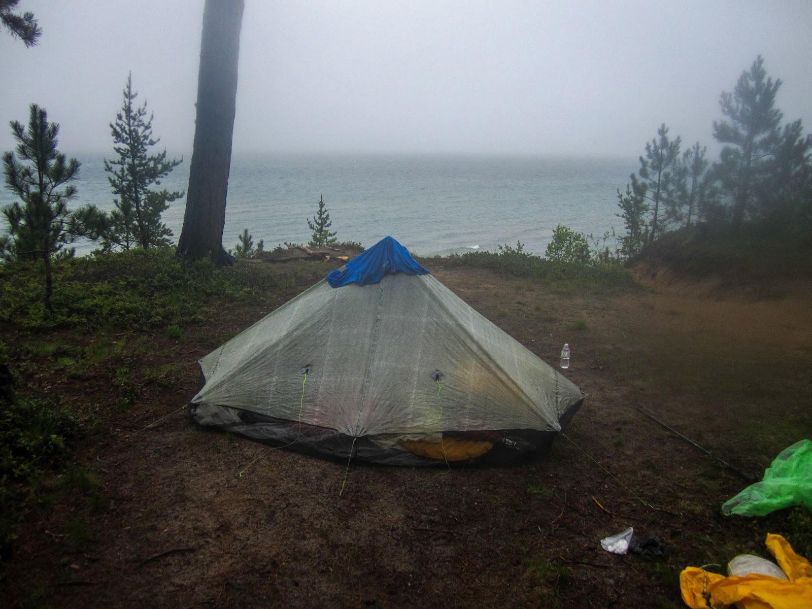
After waiting a little, the rain let up and I set up my tent fairly close to the trail, but protected from the winds off the lake.

It rained throughout the night, but I managed to stay reasonably dry.

I awoke the next morning and it was cloudy but had stopped raining. I enjoyed the morning view of the Lake Superior.

In some places the trail was hard to follow and one point I looked up to see a small house above me on the ridge. I figured I had missed a turn and backtracked to where the trail had turned inland.

Another point the trail simply disappeared and it was pretty slow going in thick brush. I looked to my left and saw a ridge above me and decided to climb up to it to scout out a better route.

At the top I found a trail and after some time I discovered a faded blue blaze and I was back on the trail.

Then it was back to another quick road walk.

I rejoined the trail and this section was better maintained.


The trail leading away from the beach was scenic in many places.


I had a short road walk on the way to Muskallonge Lake State Park. By this time it was raining again. I took a break in the outhouse and tried to dry off.

The trail in Muskallonge Lake State Park has been rerouted to the Muskallonge Lake as the section near Lake Superior has been damaged by erosion.

Muskallonge Lake
The trail went by the campground and then out to the road before turning back to the Muskallonge Lake. There was a section where there weren't any blazes as I walked on a utility road with lots of fire rings, outhouses, etc. Then I saw some blue blazes to my left, but they led me backwards so I must have missed the trail earlier. I decided to do it when I returned later. I continued back out to Lake Superior.

Next I came back to the road for a short road walk but for some reason I walked right past where the trail re-enters the forest even though it was clearly marked and I was looking for it. I quickly discovered my error and was back on the trail.

The next section is quite scenic and without road walks around private property.

There was a flock of 80+ Canada Geese on the beach. They saw me and all went in the water.

I came to the Blind Sucker River and forded across in the rain.

Blind Sucker River

The trail came to a nice overlook of the Blind Sucker River.


The trail came out to the road and the trail paralleled it and the beach.

I reached Lake Superior State Forest Campground and took a break in another outhouse. I decided to turn around and start my return hike on the beach.


I reached the Blind Sucker River again and rejoined the NCT.


I passed the same flock of geese again.


They went back in the water.

The rain had let up but the undergrowth was still wet, so I got soaked regardless.


At times there was no visible trail, but pink ribbons were tied to trees.

Soon I was back at Muskallonge Lake State Park. This is where the trail has been re-routed.

I went out to the short section I had missed before. I found where the trail was marked correctly going east bound but no such marking going westbound which had resulted in me walking the utility road.

I took a break by the bathroom (as it had started to rain again) in the empty campground and then followed the trail over to the picnic area where there was a drinking fountain to get some water.

After a short road walk, I was back on the trail.

I left the trail and descended to the beach.

I followed the beach for a short distance, I believe past one of the road walk sections. The rain had stopped.

I climbed back up the dune to the NCT.


It was early in the day but I figured there probably wasn't much more than ten miles back to the Two Hearted River and it wasn't raining. I was at the perfect spot overlooking Lake Superior so I set up camp.


I went down to get some water.


It didn't rain much in the night and I awoke to see a large boat going across the lake and stars in the sky. In the morning I returned to the beach and continued east.

I hoped to rejoin the NCT and try to figure out what had happened in places I got confused before but walking the beach was challenging to determine whether the trail was on a road walk or not.

In some places there were many trees to scramble around.


I looked to my right and noticed a blue blaze so I made my way back to the trail for a short distance.


Then back to the beach. It was a pleasant day with a nice breeze.


Back on the NCT again.

There was an amazing panoramic view from up on the dune.


The trail turned inland but I didn't want to do a road walk so I descended off the dune.

I went past a creative ladder down to the beach.


I hiked the beach some more.

I found a blue blaze but knew the trail didn't go on the beach. The trail must be up above again.

So I climbed back up the dune and found where the trail had fallen off of it.


Another spectacular view of this remote section along Lake Superior!

I went back to the beach yet again.


I reached the edge of where the fire had burned.


I followed the NCT where it was on a sandy two track.

A bald eagle went soaring past.


As I neared the end of the hike, I stopped for one last break.

I was in awe with how the water's color had changed since the day before.


I went past my first campsite.


Soon I came to the dune beside the Two Hearted River and climbed up its backside to get a view overlooking the river.

Two Hearted River


I crossed the bridge and returned to the parking lot and another hike on the NCT was complete.

This was another great section of the NCT. This stretch of trail has a truly remote feeling. Ideally I would have experienced better weather, but I was happy there weren't many bugs to attack me. This section may benefit from mile markers as some other sections have done in southern Michigan given the confusing nature of going back and forth between the road. Also, signage visible from the beach if a hiker opts to follow the beach may be beneficial. Overall, this is probably one of my favorite sections that I have completed on the NCT.
The documentation of your NCT experience in the Eastern UP is fascinating; thanks for taking the time to produce this excellent work that focuses on my environs. Furthermore, and most importantly, props to you for implicitly witnessing to our great Lord and Savior Jesus Christ [sentence in the "About Me" cell of your blog post]
ReplyDelete