Of all the national scenic trails, I have currently hiked the most miles on the North Country Trail, a 4600 mile
trail from North Dakota to New York (soon Vermont). Whether it be beautiful segments in the Boundary Waters Canoe Area Wilderness (Border Route Trail, Kekekabic Trail), along Lake Superior's beautiful shoreline (Superior Hiking Trail, Pictured Rocks National Lakeshore), or in Michigan's Lower Peninsula (Manistee River, Jordan River Pathway), the NCT has provided exceptional backpacking opportunities.
In the summer of 2016 I have returned to Northern Lower Michigan and have had the opportunity to complete much of the established NCT in the eastern upper peninsula. This section includes remote country in the Hiawatha National Forest and along the beautiful shore of Lake Superior. I have also been able to arrange for 3-day weekends at work and plan to use my bike more frequently vs. backtracking on the NCT as I have previously done.
This hike between Lake Superior State Campground and the Grand Sable Visitor Center in Pictured Rocks National Lakeshore was my final segment of the NCT in the eastern UP. It was quite scenic with remote Lake Superior shoreline and also a scenic walk through Grand Marais and past Grand Sable Dunes and Sable Falls.
I now have completed the NCT from southern Michigan near Croton Dam all the way to Munising (except walking the Mackinac Bridge). Ideally I will be able to complete an extended hike in the western upper peninsula (maybe Wisconsin as well) and connect the trail between Jay Cooke State Park near Duluth and Munising. Then I would have a continuous stretch all the way from the Kekekabic Trail's western terminus.
I parked a little east of the campground off the side of the road. It was a pleasant evening.
I began my hike west to Grand Marais.
The trail went between the campground and the beach. There were quite a few people camping for the weekend.
I decided to hike ~1 mile away from the campground and find a place to camp.
I found a flat spot near the edge of the forest and set up camp.
After sunset a lot of mosquitoes came out. Good thing my tent has mesh to keep them away.
I woke up in the morning to a colorful sky.
It was exciting to see the sunrise over Lake Superior from the same place I had seen the sunset the night before.
Soon I was back on the trail with nice early morning views.
The trail was up on some dunes.
I came to a sign and the NCT turned away from Lake Superior.
Looking back to the lake
I crossed H-58, the Grand Marais Truck Trail. Also known as CR-407.
The NCT in this section can be combined with the Blind Sucker Pathway to form a loop.
I reached a scenic overlook with a picnic table. From here the Blind Sucker Pathway turns left and the NCT continues to the right.
After a break, I continued on the NCT with some nice scenery along the Dead Sucker drainage.
The trail went back and crossed H-58.
In this area there has been an extensive amount of logging.
Some trees have been preserved and the trail travels between them.
I started following some blue ribbons for awhile, before I realized they were leading me in the wrong direction.
After being back on the trail, I lost the trail when I missed the left turn shown below. I followed the two track to the right and even found another trail marker but the trail didn't go that way.
Soon I was back at Lake Superior.
I went down to the beach to get some water.
The trail paralleled Lake Superior with great views. There was a dirt road nearby.
I went past a campsite.
An inland view
I could see a freighter through the trees.
The trail brought me to the edge of an impressive dune.
This section was one of my favorites.
I reached where the NCT turns back inland and stopped to take a break and enjoy the view. I could barely make out the Grand Marais Light in the distance.
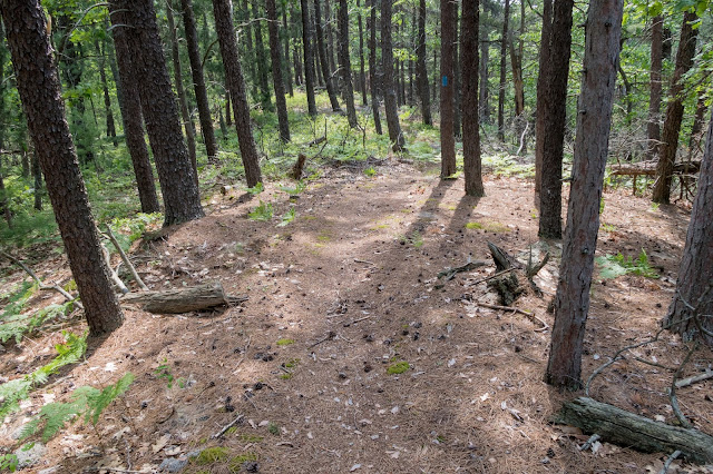
Back in the forest, there was a great stretch of trail.
As I neared the Sucker River, the trail went through an open area.
There were colorful flowers.
I reached the Sucker River.
I came to the bridge over the Sucker River on CR-786.
I stopped to get some water.
The NCT uses the Grand Marais School Forest Ski Trail system.
Grand Marais Creek
I crossed Grand Marais Creek on H-58.
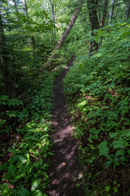
There was a nice stretch of forested trail.
Then I followed a two-track.
There was a bridge across Baker Creek.
Soon I reached the trailhead on H-58.
I continued the road walk into Grand Marais.
I reached Grand Marais and enjoyed the view of Lake Superior.
The sky darkened and it started to rain lightly.
I continued on past the Woodland Park Campground.
Then descended to the beach. The trail follows the beach to Grand Sable Dunes and Pictured Rocks National Lakeshore. The sky was quite dark and I could see lightning striking across the lake. Soon it was an intense thunder storm. I ran along the beach with no where to find shelter as there were towering dunes to my left and Lake Superior to my right. Eventually I reached a place where the dunes were lower and there was a dark forest for some shelter.
After waiting out the storm, I discovered I was right next to the Sable Falls Trail.
Sable Falls
The NCT in this area is managed by the National Park Service and is heavily used.
Soon I left the forest and arrived at the Grand Sable Visitor Center. I walked across the parking lot to where I had previously started the Lakeshore Trail in 2014. This connected a portion of the NCT from Croton Dam on the Muskegon River all the way to Munising (except I have yet to hike the Mackinac Bridge).
The sun came out and I tried to dry out my gear.
I turned around and started back to Grand Marais as I needed to find a place to camp east of Grand Marais.
I took a short detour to see the top of Grand Sable Dunes.
Sable Falls
Back on the beach I enjoyed the impressive view of the dunes. To the west of here is closed due to dangerous potential for the dunes to collapse.
I continued back to Grand Marais.
I went past the campground.
After finishing the road walk, I arrived at the trailhead off H-58.
The trail quickly brought me back to Baker Creek and I decided to set up camp nearby.
Bridge over Baker Creek
After a slightly rainy night, I started back the next morning.
Back at the Sucker River
I reached Lake Superior.
From where the trail turns inland, I decided to follow the beach to avoid the logging area.
It was a pleasant walk on the beach. I passed some homes on the way.
After some time, I climbed up a small dune and found where the trail came back to the lake.
In a short distance I was back at the Lake Superior State Campground.
I continued back to my vehicle and enjoyed one last view of Lake Superior.
This was another great hike on the NCT. One of my goals for the summer was to complete the section from St. Ignace to the Grand Sable Visitor Center. The NCT through the eastern upper peninsula provides unique and remote scenery that is difficult to find on any of the other National Scenic Trails.


No comments:
Post a Comment