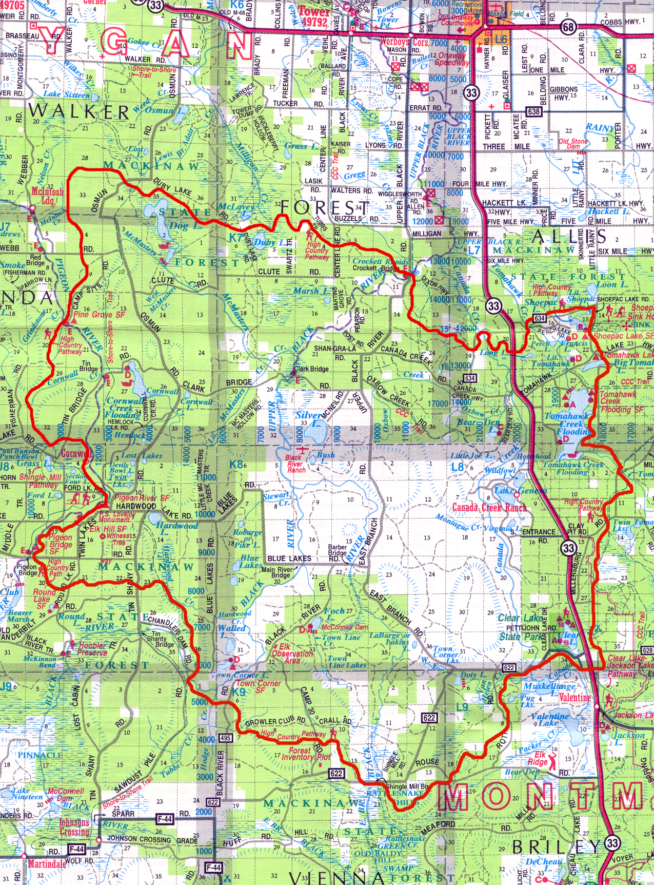
July 22-25, 2016
I had heard of this trail a few years ago, but gathering specific details was somewhat challenging so it took a while for me investigate it further. Also, given the distance, it is not a hike that can be completed during a regular weekend. I had read reports of limited trail maintenance, logging activity, and a generally bland trail experience. I used a gps track from metalbackpacker.com, but didn't follow it entirely.
After completing this trail, I actually think it's somewhat underrated. Forming a loop of this size in lower Michigan is quite challenging and much of the trail does feel remote even though it does cross a bunch of two-tracks and dirt roads. There is an abundance of wildlife, interesting forests, lakes, streams, a great backcountry shelter, one of the most expansive views in lower Michigan, and even the logging areas are starting to rebound and not looking quite as desolate. The HCP is probably, however, primarily a hike for people who who actually enjoy hiking vs. simply hiking to enjoy the views/scenery. While the trail is somewhat overgrown in places and the blazes at times are faded, it is generally easy to follow if the map is used. Tick precautions are also critical.
The HCP took me 3+ days of extended hiking. For daily reports, see the links below.
Day 1: Pigeon Bridge Campground to Bird Tally Creek
Day 2: Bird Tally Creek to Canada Creek Shelter
Day 3: Canada Creek Shelter to Rattlesnake Hill
Day 4: Rattlesnake Hill to Pigeon Bridge Campground

Thanks for this!
ReplyDelete