July 16-18, 2016
South Manitou Island is located ~16 miles west of Leland, MI. It is part of Sleeping Bear Dunes National Lakeshore. The island is fairly small at three miles wide by three miles long, but it provides a relaxing weekend with an abundance of scenery. This is a great destination for a beginning backpacker but will be quite worthwhile for experienced hikers as well.

Helpful links:
Starting at the ferry in Leland. We had arranged to take the morning ferry even though it is typically for day-hikers.


The boat ride takes 2+ hours. I could see Sleeping Bear Dunes and Pyramid Point to the south.

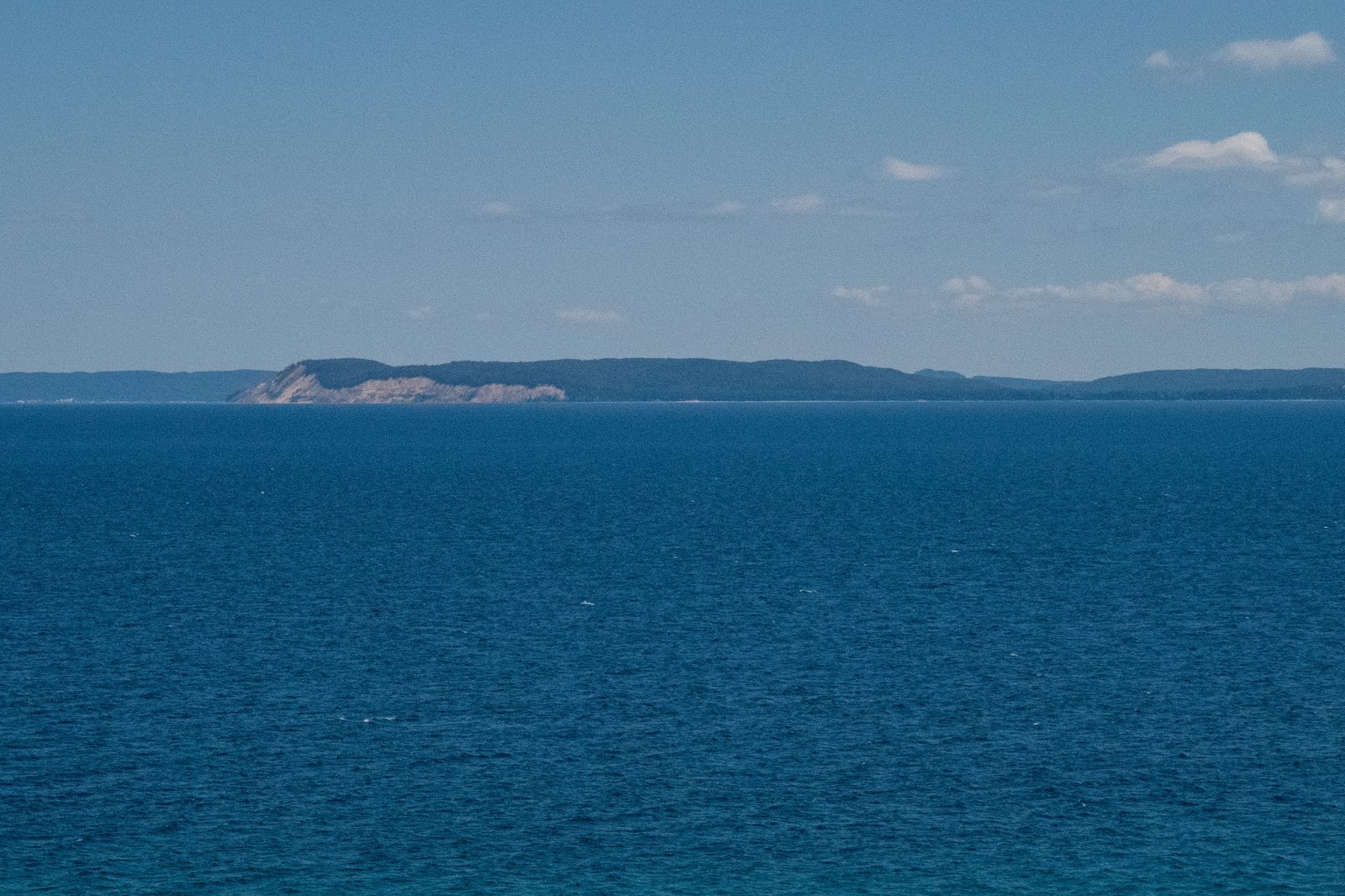
There were many great views on the boat ride. We could see North Manitou Island.

North and South Manitou Islands

Dunes on the mainland


From the front of the boat we could see the North Manitou Shoal Light Station.


We went past the Shoal light. It was interesting as it was right out in the middle of the lake.


We could see dunes on North Manitou Island.

Then the South Manitou Island Lighthouse as we reached the island.

South Manitou dock


Looking back with North Manitou visible

South Manitou Island Lighthouse

It was a short forested walk on a wide trail to the Weather Station Campground.


Most of the sites were occupied by people who had arrived on Friday, but we found one with a great view of the lake. Someone had just moved out that morning and left their permit on the post.

We set up camp and enjoyed the view.


View across to Sleeping Bear Point


We could see the lighthouse rising above the trees.


Looking out to Sleeping Bear Point

Pyramid Point

From the lighthouse we went and explored the visitor center and then took the trail to Florence Lake.

Florence Lake


Many of the trails on the island are old roads. Some are still used for the island tour which seems contradictory as the sign indicates "entering wilderness". Typically wheeled vehicles are prohibited in wilderness areas but there must be an exception on South Manitou Island.
We decided to go check out the shipwreck.


Another view of Florence Lake


SS Francisco Morazan


It was a steep descent to the beach.


We decided to walk the beach back to our campsite.


In some places we had to wade in the lake.


We saw an historic house and left the beach to explore.


The back porch offers a spectacular view of Sleeping Bear Dunes.


Soon we were back at our campsite and cooked up some good food.


In the evening we decided to head back to the lighthouse for some pictures.

There was some nice evening light on the lighthouse.


We went over to the dock and enjoyed the sunset over the island and Crescent Bay.


We returned to the lighthouse one more time.


We hiked the trail back in the dark to our campsite.
The next morning we woke to cloudy skies.


We packed up camp and started our hike to the west side of the island.

We passed the trail to the shipwreck and went to explore the historic northern white cedars, some of the oldest and biggest in the world.

Some of these trees are hundreds of years old.

There was an excellent boardwalk.


Back on the main trail, we climbed up to the dunes.

From the top of the dunes we could see across the entire island.


It started to rain a little.


Looking out to North Maniou Island


We left the trail and began our descent to the beach.

Soon it was raining quite hard.


We could barely see North Manitou Island through the clouds.

I used my umbrella for some shelter from the rain.

As we hiked the beach we watched carefully for signs of a trail to the Popple Campground. We noticed a faint path uphill and it let to one of the campsites. I went to scout out the other sites and no one else was around. The first site we found was the best with easy access to the water. We set up camp and took shelter from the rain.

After a nap, the rain stopped and I decided to go exploring. There were quite a few mosquitoes flying around.

North Manitou Island

I decided to walk the beach out to the Gull Point Bypass and head over for a view of Crescent Bay.

Near the Popple Campground water access there was a blue post.


I reached the Gull Point Bypass. Hikers aren't allowed past this point in order to protect the endangered piping plover.

After a quick hike through the forest, I came out to Crescent Bay and could see the lighthouse in the distance.


Sleeping Bear Point was visible across Lake Michigan.


Crescent Bay


Pyramid Point visible in the distance


I hiked the bypass trail again and started my return to the Popple Campground.


Even though I was looking for it, I actually missed the campground and walked past it. I quickly realized this and turned around. Back at camp my dad started to cook up some food. I went back to the beach to see if I could get some nice sunset pictures.


North Manitou Island


By the time I returned to camp, it was already dark and there were clouds of mosquitoes. I ate some tasty food that was no longer warm by the beach. I could see lightning in the distance.
The next morning we awoke to a beautiful day.


Map of Popple Campground

We had a short hike back to the dock to catch the afternoon boat.

On the way we saw many historic buildings. First we came to the G. J. Hutzler farm.


There was a two seated outside out back.


Next we came to the cemetery.


Some farm equipment at a trail junction. We dropped our packs behind a tree and decided to make a loop to the farms and schoolhouse.

Next, we came to the August Beck farm.


Then George Conrad Hutzler's farm.


We looped around to the schoolhouse.


We returned to the trail junction and hoisted our packs. We joined the trail to Crescent Bay. We took a side trail to a small cemetery.

We decided to walk the beach back to the dock.


On the way we passed the Bay Campground but didn't take time to explore.


Back in Leland

South Manitou Island provides a very scenic hiking destination. While hiking miles are limited, there is an abundance of scenery including an historic lighthouse, pristine beaches, shipwrecks, giant cedars, towering dunes, and historic buildings. An overnight adventure will be sufficient for many to see and experience the island. Some can probably hike most of it in a day, but it's worth it to spend the night. If looking for a more remote experience, plan to stay at Popple as the other campgrounds are much more popular.
If ambitious, consider arranging to take the morning ferry from South Manitou to North Manitou for an even more remote experience.
Eric - Do you recall from your time on South Manitou Island, Michigan, coming across any graves near Gull Point or hearing any stories about a grave?
ReplyDeleteHello, My name is Jeremey King and I work for The Design Minds, an exhibit design firm in Fairfax, VA. We are currently working with the interpretive team at Sleeping Bear Dunes National Lakeshore on new exhibits for North and South Manitou Islands. We've sourced an image from your blog that we are interested in including in the exhibits. If you might be interested in granting us permission, please contact me at jeremey@thedesignminds.com.
ReplyDelete