The map below shows hikes that I have posted. Double click to zoom in on an area. Click on a hiker icon to discover great hikes! Red stars indicate long distance hikes.

Sunday, August 31, 2014

Hoist Lakes/Negwegon State Park

September 27-29, 2013

"Hoist Lake foot travel area encompasses almost 10,000 acres of pine, aspen and hardwood forest. There are 19 miles of looped trail." It is located approximately 200 miles north of Detroit.  I spent two nights exploring the area and then took a short drive to Negwegon State Park on the shore of Lake Huron.
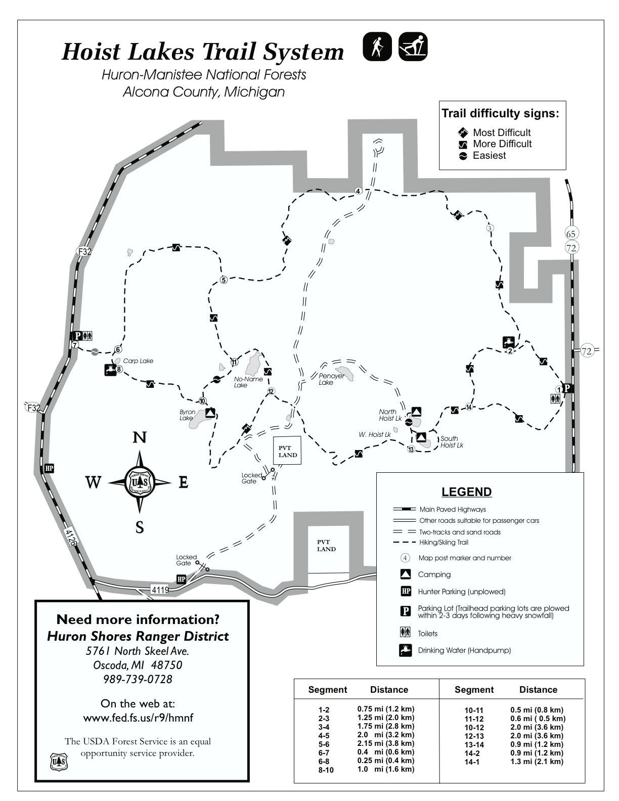
After finishing the work week, I drove to the west trailhead (indicated by the "7" on the map) and hiked in darkness to Byron Lake.  There was a nice campsite beside the lake.  While setting up camp, I saw some eyes shining in the darkness.  It was a raccoon!  I made sure to hang my food bag.  During the night I noticed my sleeping bag smelled especially foul.  My family's cat must have decided to urinate on it back at home!


In the morning I found some swans swimming in Byron Lake.


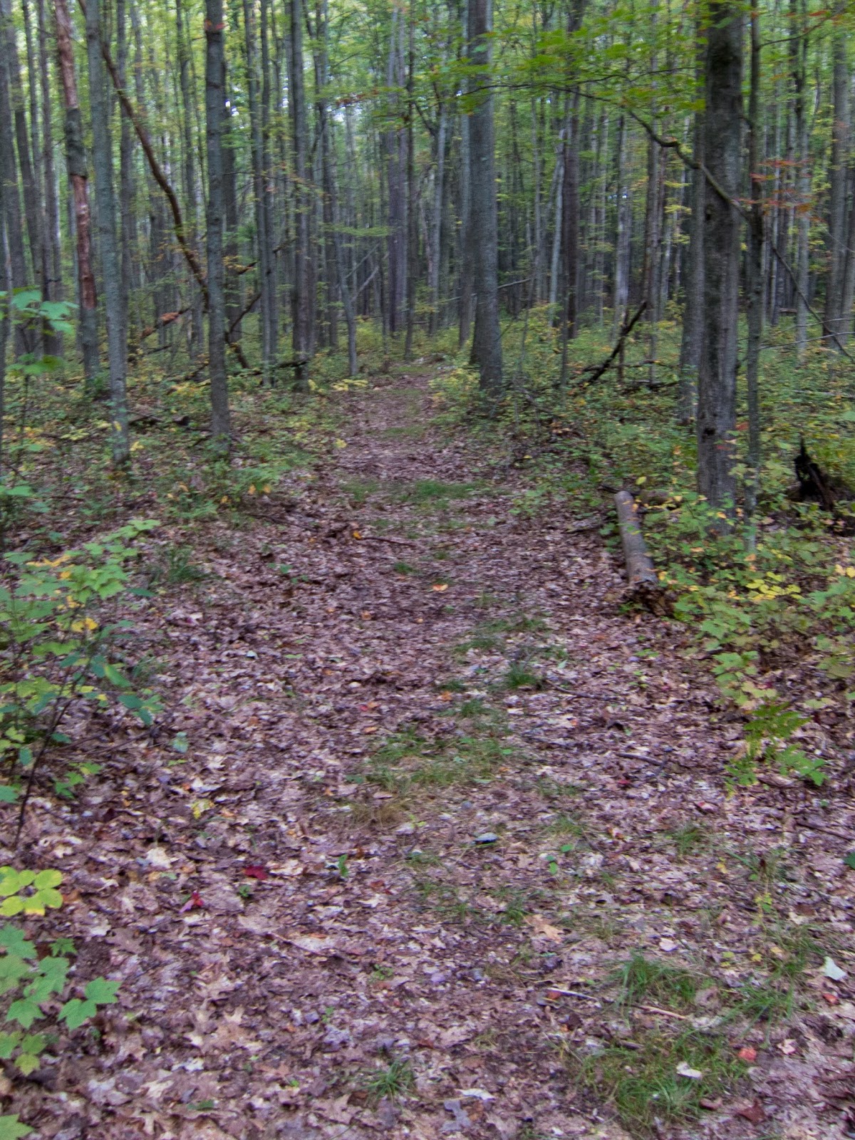
I went out for a day hike of the majority of the area.  I left most of my gear in camp so I traveled quite light. From Byron Lake I traveled north and looped over to Hoist Lakes passing junctions 11, 5, 4, 3, 2, and 14.  These junctions are signed with corresponding numbers and also have maps, making it difficult to get lost. The trail was in good condition and a pleasant walk through lush forest.


No-name Lake


The fall colors were just starting in late September.


I stopped at South Hoist Lake for a snack and a couple other hikers walked by.


North Hoist Lake

From North Hoist Lake I followed the two-track road to Penoyer Lake where I found a nice campsite to take a break.

I returned to trail and headed south from intersection 12 to loop back to Byron Lake.
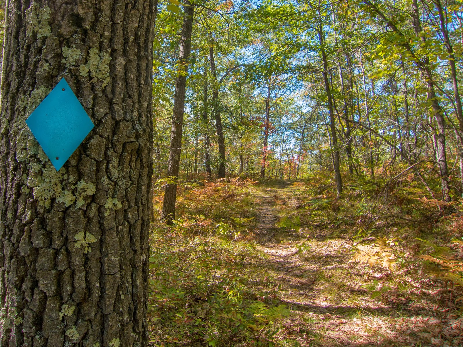


I decided to move my campsite to the west end of the lake and started a fire.

There were beautiful evening views to the East across Byron Lake.


The next morning I hiked back to the car and completed my journey in the Huron National Forest.

I began my drive to Negwegon State Park.  On the way I passed an Au Sable River Overlook.


After driving on a remote dirt road I made it to Negwegon State Park.  I decided to do a quick trail run before heading home.  I decided to stick to the east side of the trail system, close to Lake Huron and make my way to South Point.  I passed several walk-in campsites on the way.


View from South Point


South Point Campsite

The trail through the forest was great for running.

The beach near the parking lot was sandy.


It was an eventful weekend with diversity of scenery and moderate temperatures.  I recommend both the Hoist Lakes area and Negwegon State Park for remote outdoor experiences in Northeast lower Michigan.  Hoist Lakes has a $5/day user fee, and camping at Negwegon State Park is reservable by calling Harrisville State Park at 989-724-5126.

Monday, February 3, 2014

North Country Trail/Lake Superior Adventure

This adventure will include 11 separate adventures that will be combined to create a 1000+ mile adventure in the Lake Superior Region.  Currently the tentative plan is to begin in August and finish early October.  I will drive my vehicle starting from home in lower Michigan and head north to Canada. I have planned four routes on the Canadian shore of Lake Superior.  I will re-enter the U.S. near Thunder Bay and head to Grand Portage where I will board a ferry to Isle Royale National Park for about a week. After a return to the mainland, I will drive south to an airport so that I can fly to a friend's wedding.  After my return to Minnesota, I will join the Superior Hiking Trail/North Country Trail going Northbound until I connect to the Border Route Trail and then the Kekekabic Trail.  After the Kekekabic Trail I will get a ride back to my vehicle in Duluth and travel east to hikes along the Southern shore of Lake Superior in Michigan's upper peninsula.

1. Lake Superior Provincial Park-Coastal Trail
I have nearly completed this trail if I combine my two adventures on it.  I have yet to hike to the northern terminus.  This is a very rugged and rocky trail that provides great coastal views of Lake Superior.  I plan to hike south to north after finding a shuttle to drop me off at the southern terminus.

2. Pukaskwa National Park-Coastal Trail
This trail will be a new experience.  I have never been this far north into Canada.  I plan to make the most of this trail by hiking an out and back and saving money by not paying for a ride back.

3. Casque Isles Trail http: (//www.voyageurtrail.ca/trailscasqueisles.html)
From near Terrace Bay to Rossport, this trail looks like it will have great views near the shore and up above the lake. It passes through Rainbow Falls Provincial Park and is part of the Voyager Trail.

4. Sleeping Giant Provincial Park
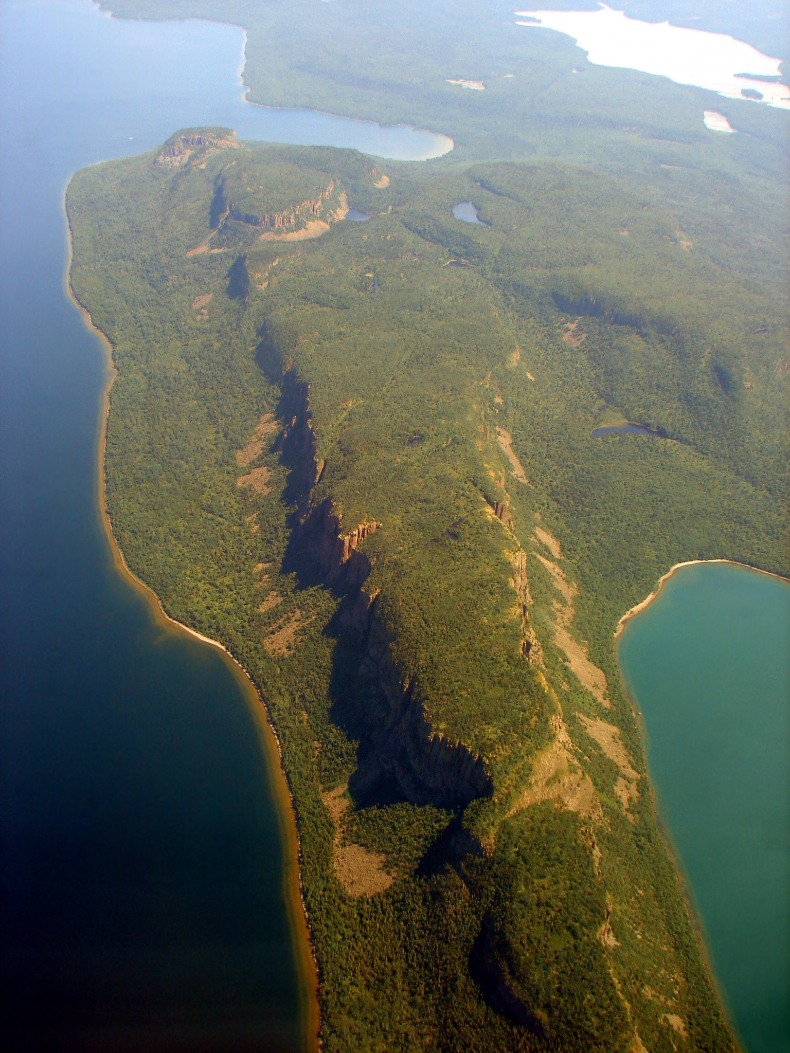
The Kabeyun Trail should be great.  I plan to make this into some sort of loop and make it to the top of the giant.
5. Isle Royale National Park

I have previously been to Isle Royale. It was my first week long backpacking adventure back in 2010.  This time I plan to explore more of this remote island.  I will board the ferry from Grand Portage to Windigo.  My route will take me to most of the island that I haven't seen and some of the best of last time.  I will include the most of the Feldtmann loop, then hit the Greenstone Ridge to its eastern end, then hit some of the trails near Rock Harbor, down to Moskey Basin, north to McCargoe Cove, west to Huginnin Cove on the Minong Ridge Trail, and back to Windigo.

6. Superior Hiking Trail
This has been rated as one of the top ten backpacking trails.  I have read that it actually isn't that close to Lake Superior, but it should still be special.  By the time I start this hike, hopefully the fall colors will be starting to come out.  This trail has designated campsites and frequently passes trailheads and state parks.  I plan to do a few side trips.  I also plan to start at the official southern terminus and hike the Duluth section.
7. Border Route Trail
A trail that will give views that are rarely seen by those who stick to the water's level in the boundary waters.  The trail passes many scenic inland lakes and has many views far into Canada.  This is where I will start to get some of my most remote hiking of the adventure.  

8. Kekekabic Trail
The "Kek" will most likely be the toughest portion of my hike.  It is also in the boundary waters and depending on the season and trail work may be very overgrown or covered with blowdowns.  I anticipate this being an inspiring wilderness experience.

9. Porcupine Mountains Wilderness State Park
I have planned a loop of the highlights of the park starting at the Presque Isle River and seeing some nice waterfalls.  I will then hike some on the beach before climbing up past Lake of the Clouds and looping back around to the Presque Isle River.

10. Grand Island
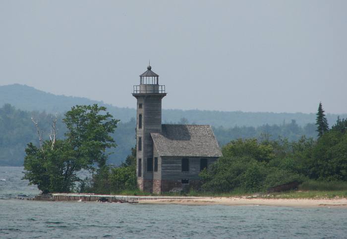
Grand Island National Recreation Area is located near Munising.  There is a loop around the island and views of pictured rocks to the east.

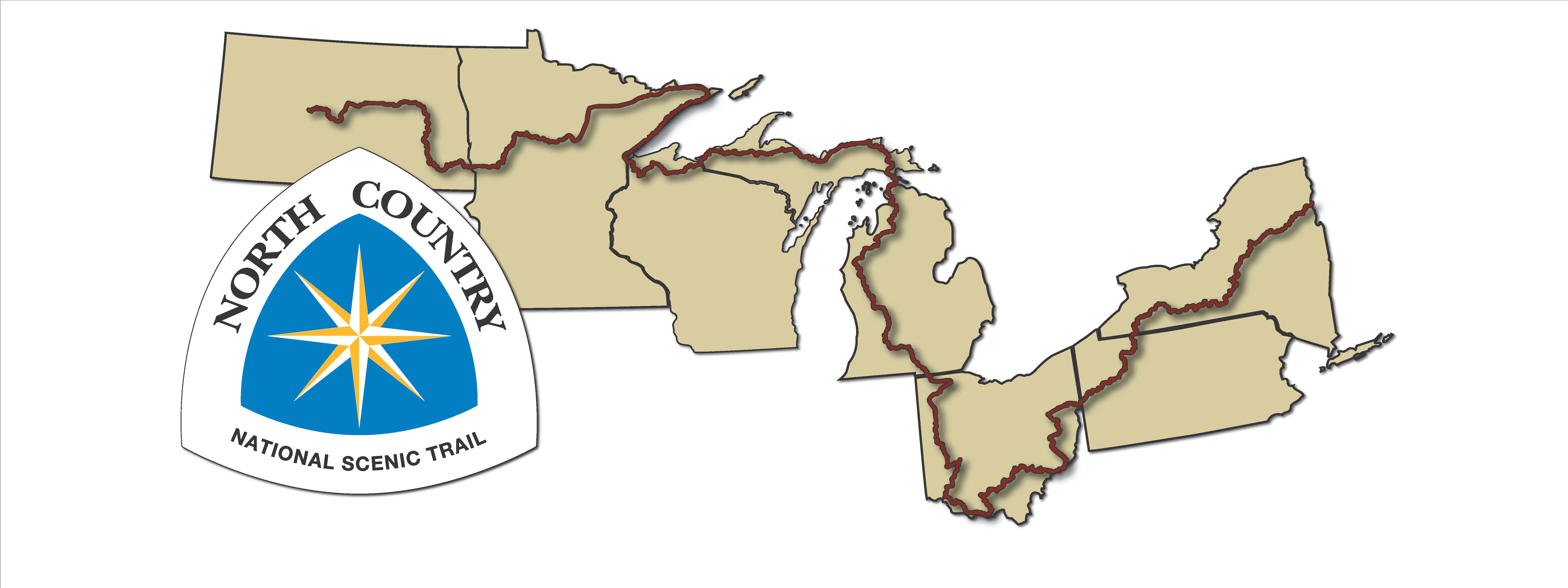
11. North Country Trail
I plan to hike this from east to west, saving one of the highlights of the NCT for last, Pictured Rocks National Lakeshore. I will start near Tahquamenon Falls and then head to the Southern shore of Lake Superior. I will finish my hike in Munising.  Being from Michigan, I don't understand how I have neglected to hike Pictured Rocks until this adventure, but it may be the best backpacking in Michigan.