September 19, 2017
13.5 miles
I slept well throughout the night. I awoke to a nice morning.
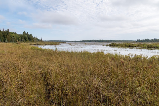
Dry Lake
There were some nice morning reflections.
I followed along the eastern side of the lake.
Dry Lake
I left the lake and went off-trail back to a trail.
Soon I was off-trail again as I started to make my way toward Fourth Lake.
My goal was to connect Fourth, Third, and Second Lakes.
There was some beaver activity.
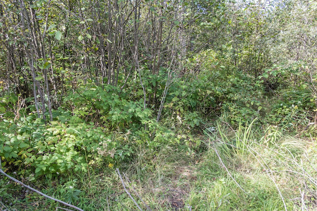
There was some tedious bushwhacking and swampy walking. I was excited to enter an open area.
Looking back
As I neared Fourth Lake, there was a fairly deep stream. I decided to cross it on a beaver dam.
It was nice to have some open walking but it was still wet and swampy and the vegetation was still thick.
Fourth Lake
I made my way along the western side of Fourth Lake.
Pitcher Plants
Beaver Lodge
Fourth Lake was scenic and felt wild. I think I remember there being a house on the other side though.
The brush increased along the lake and made for slow-going and I briefly considered just hiking east to the Lake Huron and the beach which was only a short distance away. Then I realized I had one more day of hiking planned than I was thinking.
I decided to check out the nearby forest, hoping that it would be a little easier walking.
It was still quite thick in places.
I decided to abandon my plan to hike to Third and Second Lakes but I would head straight toward the Potagannissing River and then continue west through the forest to Paw Point.
There were pleasant stretches of forest hiking.
Then more bushwhacking as I crossed a swampy area north of Stevens Lake.
Then back to the forest. Navigation was fun in the forest, using my compass to make sure I was going in the right direction or orienting myself based on the sunlight shining through the trees.
I came out to an old road and followed it toward the Potagannissing River.
Eventually the road dead-ended and I resumed the bushwhacking.
I reached the Potagannissing River and it was quite scenic. It looked fairly deep, though, and I searched for a place to cross. I couldn't find anything that looked shallow so I to decided to get creative and inflated my sleeping pad which I used to float my pack across the river while swimming. Halfway across I realized that I could still stand up so maybe it would have been best to just hold my pack over my head while wading across. Somewhere near the river or when bushwhacking I managed to lose my trail map but I still had a map on my phone and remembered my route well.
Potagannissing River
There was an extended off-trail section heading west toward Paw Point. I checked my position regularly and tried to stay on-track. The hiking was fairly nondescript and when I wasn't focused on navigating I had time to think. The week before I had completed another great contract PT job and had time to reflect and think ahead to the future.
I came out to a road and was excited to see the view from Paw Point. It was a joy to have an easy path to follow after hours of bushwhacking. I decided to run to the main road.
S Maxton Road
It was disappointing to discover that what looked like a road to Paw Point on my map was actually someone's private driveway. I turned north and continued to Maxton Plains.
As I walked the short distance on the road, a car passed going the other way, the only people I would see the entire time while I was hiking on Drummond Island.
I could just barely see out to the Lake Huron and Potagannissing Bay.
Maxton Plains is known for its Great Lakes Alvar. An alvar is biological environment based on a limestone plain with little soil. Alvars are rare and Drummond Island has been said to be "arguably one of the world's finest examples of alvar grassland." They have only been documented in Scandinavia, Estonia, Ireland and the Great Lakes.
Maxton Plains
I continued along the road heading north to Walkter's Harbor. Hiking off-trail through Alvar is not recommended.
The road gradually started to disappear as it turned into a trail.
Then it might have gone onto some private property. I wasn't sure as I had lost my map. I found a small boardwalk.
Then it was completelyflooded so I kept walking through the swamp.
With great excitement I reached the rocky shore of Lake Huron.
With all the bushwhacking, it had been a tiring day so I looked for a place to camp.
There was a path through the nearby peninsula and I could see Walkter's Harbor.
I realized that the western side of peninsula would provide a nice sunset view so I set up camp on the rocks using them to hold up my tent.
I dried out some of my clothes that had gotten wet during the river crossing.
Before sunset I enjoyed a refreshing swim in the lake. It was a nice sunset.
As I got ready for sleep from the comfort of my sleeping pad, I anticipated the next portion of the adventure that would be along the beach.


No comments:
Post a Comment