The map below shows hikes that I have posted. Double click to zoom in on an area. Click on a hiker icon to discover great hikes! Red stars indicate long distance hikes.

Wednesday, April 27, 2016

North Country Trail: Cannon Township Trail

March 20, 2016

Of all the national scenic trails, I have currently hiked the most miles on the North Country Trail, a 4600 mile 
trail from North Dakota to New York (soon Vermont). Whether it be beautiful segments in the Boundary Waters Canoe Area Wilderness (Border Route TrailKekekabic Trail), along Lake Superior's beautiful shoreline (Superior Hiking TrailPictured Rocks National Lakeshore), or in Michigan's Lower Peninsula (Manistee RiverJordan River Pathway), the NCT has provided exceptional backpacking opportunities.

With a travel PT job in southwest Michigan, I have had the opportunity to complete much of the established NCT in southern Michigan.   While much of the NCT in southern Michigan includes lengthy road walks, there are still many excellent sections of trail.

During the weekend of March 19 and 20, 2016,  I was able to complete hikes on three separate sections of the NCT: White Pine Trail State Park, Rogue River State Game Area, and Cannon Township Trail.

This was a nice hike through a developed area on the Cannon Township Trail.  It includes a nice lake, impressive boardwalks, and nice forested trail.

I started at the northern end at the Cannon Town Hall off Belding Road NE and went south.


The trail started out as a wide side walk.  I could see Silver Lake across the road.

The trail turned away from the road and entered a residential area.

There was a scenic pond.

Next I came to an overlook of Sunfish Lake.


Armstrong Creek flows from Sunfish Lake and there was an impressive boardwalk across a swampy area.


There was still some ice on the water.

Looking toward Sunfish Lake.


The trail crossed a road and went beside a cemetery.  While the trail isn't blazed as of yet, there are still NCT markers posted.

There was a great forested section of trail including a scenic stream crossing.


The trail has been designed excellently up a fairly steep hill.

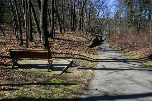
There was a bench with a nice Bible promise.

Great view!

I crossed Ramsdell Drive NE and went across another nice section of board walk as I entered Townsend Park.


I continued on to a parking area and then was surprised to discover that the trail continued on to Cannonsburg between Joyce and Ramsdell Drives.

The trail crossed Bear Creek on a nice bridge and ends with a parking lot on the right side of the road.

Bear Creek


I began my return journey.


Cannonsburg Cemetery


Back at the lengthy board walk


Sunfish Lake

From Sunfish Lake I ran back to the parking lot.


When attempting to combine sections of a long-distance trail, there most likely are going to be stretches that aren't as exciting as others.  As I try to complete many of the established portions in Michigan sometimes I wonder if I'm only hiking a section because it is the NCT.  This section certainly does not fit that category.  It is a fine hike in its own right, a surprisingly scenic hike in a developed section of lower Michigan.

North Country Trail: Rouge River State Game Area

March 19-20, 2016

Of all the national scenic trails, I have currently hiked the most miles on the North Country Trail, a 4600 mile 
trail from North Dakota to New York (soon Vermont). Whether it be beautiful segments in the Boundary Waters Canoe Area Wilderness (Border Route TrailKekekabic Trail), along Lake Superior's beautiful shoreline (Superior Hiking TrailPictured Rocks National Lakeshore), or in Michigan's Lower Peninsula (Manistee RiverJordan River Pathway), the NCT has provided exceptional backpacking opportunities.

With a travel PT job in southwest Michigan, I have had the opportunity to complete much of the established NCT in southern Michigan.   While much of the NCT in southern Michigan includes lengthy road walks, there are still many excellent sections of trail.

During the weekend of March 19 and 20, 2016,  I was able to complete hikes on three separate sections of the NCT: White Pine Trail State Park, Rogue River State Game Area, and Cannon Township Trail.

This was a pleasant hike in the Rogue River State Game Area.  I started at the trailhead parking at the Northern trailhead off Red Pine Drive NW and hiked south.


I quickly reached Spring Creek and crossed over it on the bridge for the road.


The section through the Rogue River State Game Area is the first designated portion of trail south of Croton Dam.


I went past a scenic pond.


I could see the Rouge River through the trees.


There was some nice moss beside the trail.

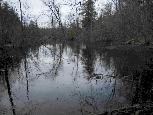
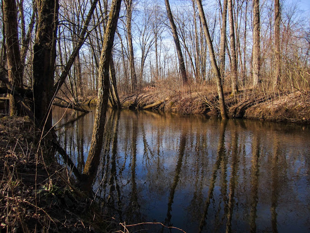
The trail came out near the river and I went to the waters' edge for a view. This river is much different than others to the north on the NCT.  The surroundings are more swampy, providing interesting scenery.


I reached the southern Red Pine Drive NW trailhead and continued on a short road walk.  I walked under some power lines through some pine trees.

I reached the end of the road walk and as the trail entered the woods, I noticed many bones on the ground.

Next was a beautiful stretch through some pine trees.


Then the trail came back to the river.


I crossed a different portion of Red Pine Drive NW and on the other side of the road, discovered significant logging activity. The map indicates that the NCT is a road walk here, but if it is a road it is very lightly used.

The NCT stuck to the edge of a newly created expansive view.


Soon I reached N Division Avenue NE and began another road walk. I crossed over Duke Creek.

This road walk was near many houses and several dogs were excited by my presence but fortunately they did not attack me.

After the road walk, I hiked a nice section of trail to Long Lake.


Long Lake

I hiked along the edge of the lake and enjoyed the view.

I took a break on a bench for a snack.

Then I began my return journey.

I wasn't sure how far I could go, but needed to find a place to camp in the state game area.


Soon I was back at the logging area.

Then I was back on nice trail.


Then a quick road walk on Red Pine Drive NW.  There was a group of guys at a campfire in their yard.  One of them asked me where I was going and I had the chance to discuss NCT with him.

Back on the trail, I enjoyed many evening views.


I came to the river and there was a nice campsite, but I decided I could keep going.


I made it back to Spring Creek.

I made it back to my vehicle and took a break.

I decided to hike a little more and see if I could find a nice place to camp near the river.

I went off-trail and found a nice spot on a small ridge above a pond near the river.


In the evening I carefully made my way out to the river as the area was quite swampy.

Rouge River

Looking back to my tent.

There was great evening light on the trees.


I was ready for sleep in the early evening.  It was a cool night below 30 degrees, but I slept well.  I awoke fairly early in the morning and continued my hike north.

The sun rose through the trees.


There were several nice views of the river.


I crossed 20 mile road NW.


Another scenic view in the Rouge River State Game Area


The trail followed I believe one of the branches of the Rouge River.


I came to a well-constructed bridge.


There were some geese swimming in the river.

I came to another bridge.

There was a great stretch of trail right beside the  river and then I reached 22 Mile Road.

After a quick break I turned around and started my hike back.


It was quite cold and some of the ponds near the trail were frozen.

Rouge River


I quickly made my way back to the trailhead as there were quite a few gunshots, some sounding very close.

Overall, the NCT through the Rouge River State Game Area is an excellent hike and provides some of the best scenery on the NCT in Lower Michigan.